Transport Functions
Port
Road
Hub Profile
Place type
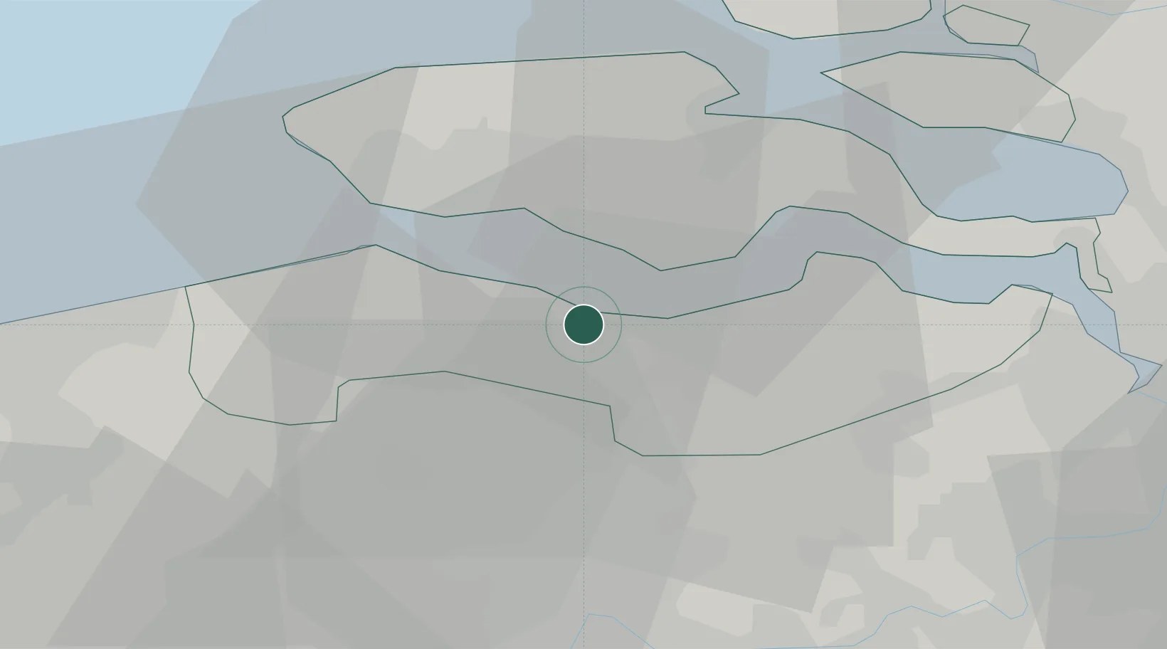
Populated place
Region
Zeeland
Population
27,930
Time zone
Europe/Amsterdam
Elevation
4 m
Logistics facilities
2
Location
Nearby Logistics Neighbours
Cities
- 1Hoek3 km
- 2Philippine6 km
- 3Everingen7 km
- 4Hoofdplaat8 km
- 5Sluiskil8 km
Ports
- 1Vlissingen16 km
- 2Hansweert21 km
- 3Ghent30 km
- 4Zeebrugge38 km
- 5Bruges39 km
Airports
Trade Zones
- 1ZFU Tourcoing80 km
- 2ZFU Hem et Roubaix83 km
- 3ZFU de Lille et de Loos94 km
- 4ZFU Condé sur lEscaut98 km
- 5ZFU Saint Pol sur Mer104 km
DatabookThe Record of Consolidated Knowledge
Netherlands beyond logistics?