Transport Functions
Port
Road
Hub Profile
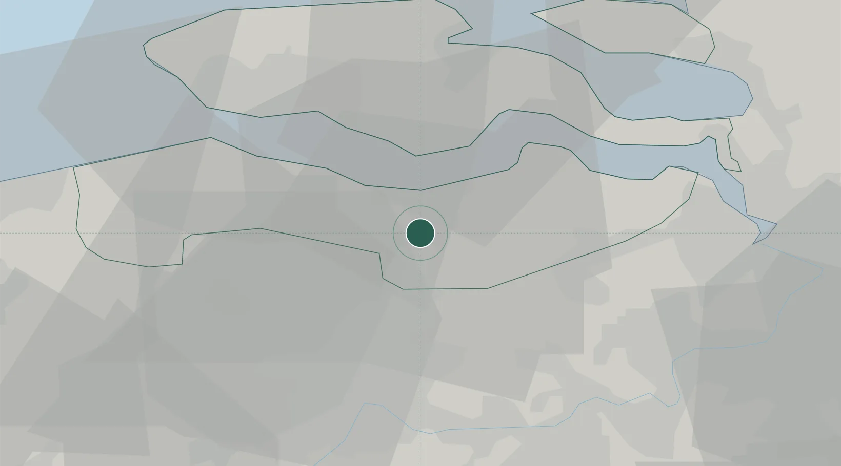
Place type
Populated place
Region
Zeeland
Population
2,411
Time zone
Europe/Amsterdam
Elevation
3 m
Location
Nearby Logistics Neighbours
Cities
- 1Philippine5 km
- 2Hoek6 km
- 3Sas van Gent6 km
- 4Zaamslag7 km
- 5Zuiddorpe7 km
Ports
- 1Terneuzen8 km
- 2Hansweert22 km
- 3Vlissingen25 km
- 4Ghent25 km
- 5Antwerpen40 km
Airports
Trade Zones
- 1ZFU Tourcoing78 km
- 2ZFU Hem et Roubaix81 km
- 3ZFU de Lille et de Loos93 km
- 4ZFU Condé sur lEscaut93 km
- 5ZFU Saint Pol sur Mer108 km
DatabookThe Record of Consolidated Knowledge
Netherlands beyond logistics?