Transport Functions
Multimodal
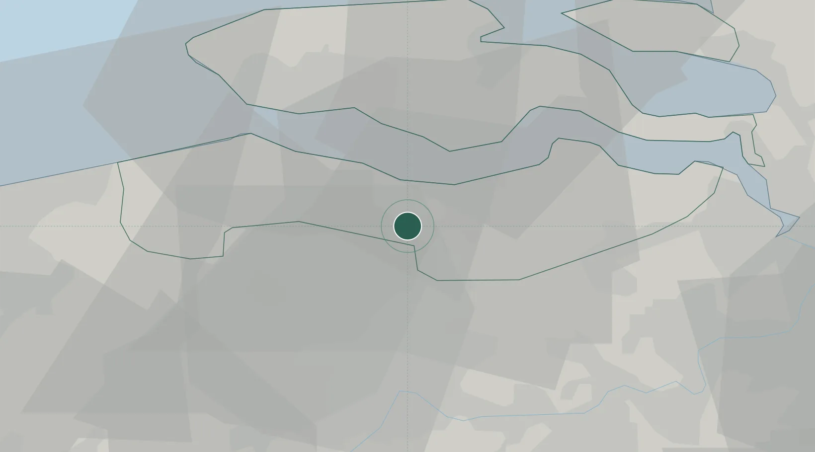
Hub Profile
Place type
Populated place
Region
Zeeland
Time zone
Europe/Amsterdam
Elevation
2 m
Location
Nearby Logistics Neighbours
Cities
- 1Hoek4 km
- 2Sluiskil5 km
- 3Boekhoute5 km
- 4Sas van Gent6 km
- 5Terneuzen6 km
Ports
- 1Terneuzen8 km
- 2Vlissingen22 km
- 3Ghent24 km
- 4Hansweert25 km
- 5Bruges39 km
Airports
Trade Zones
- 1ZFU Tourcoing75 km
- 2ZFU Hem et Roubaix78 km
- 3ZFU de Lille et de Loos90 km
- 4ZFU Condé sur lEscaut92 km
- 5ZFU Saint Pol sur Mer104 km
DatabookThe Record of Consolidated Knowledge
Netherlands beyond logistics?