Transport Functions
Multimodal
Hub Profile
Place type
Populated place
Region
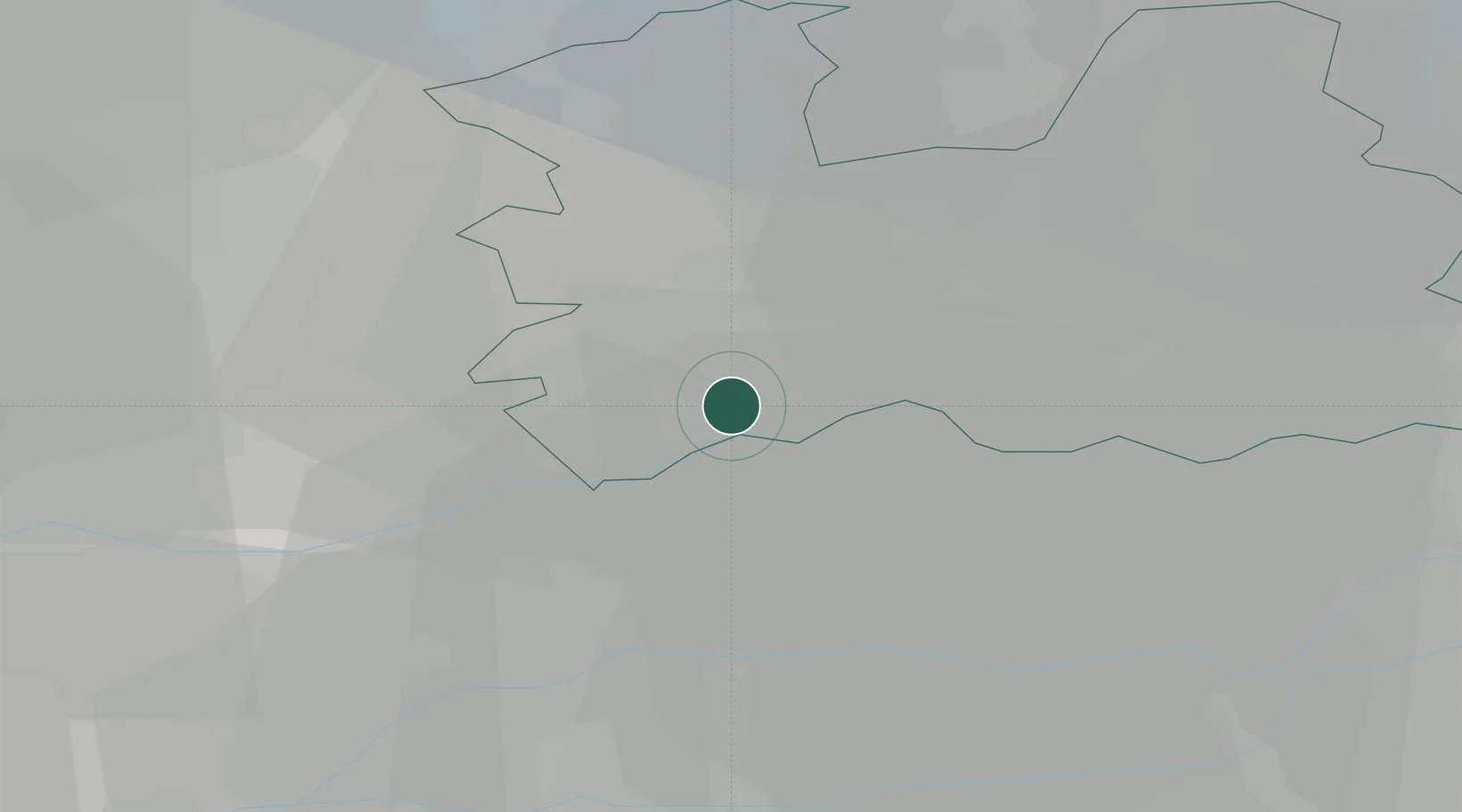
Utrecht
Time zone
Europe/Amsterdam
Elevation
1 m
Location
Nearby Logistics Neighbours
Ports
- 1Dordrecht31 km
- 2Rotterdam36 km
- 3Amsterdam41 km
- 4Schiedam42 km
- 5Vlaardingen45 km
Airports
- 1Amsterdam Airport Schiphol37 km
- 2Rotterdam The Hague Airport38 km
- 3Gilze Rijen Air Base48 km
- 4Deelen Air Base61 km
- 5Lelystad Airport62 km
Trade Zones
- 1Freeport of Duisburg127 km
- 2Rheinische Revier SWZ155 km
- 3ZFU Tourcoing190 km
- 4ZFU Hem et Roubaix193 km
- 5ZFU Condé sur lEscaut197 km
DatabookThe Record of Consolidated Knowledge
Netherlands beyond logistics?