Transport Functions
Multimodal
Hub Profile
Place type
Populated place
Region
Utrecht
Time zone
Europe/Amsterdam
Elevation
-1 m
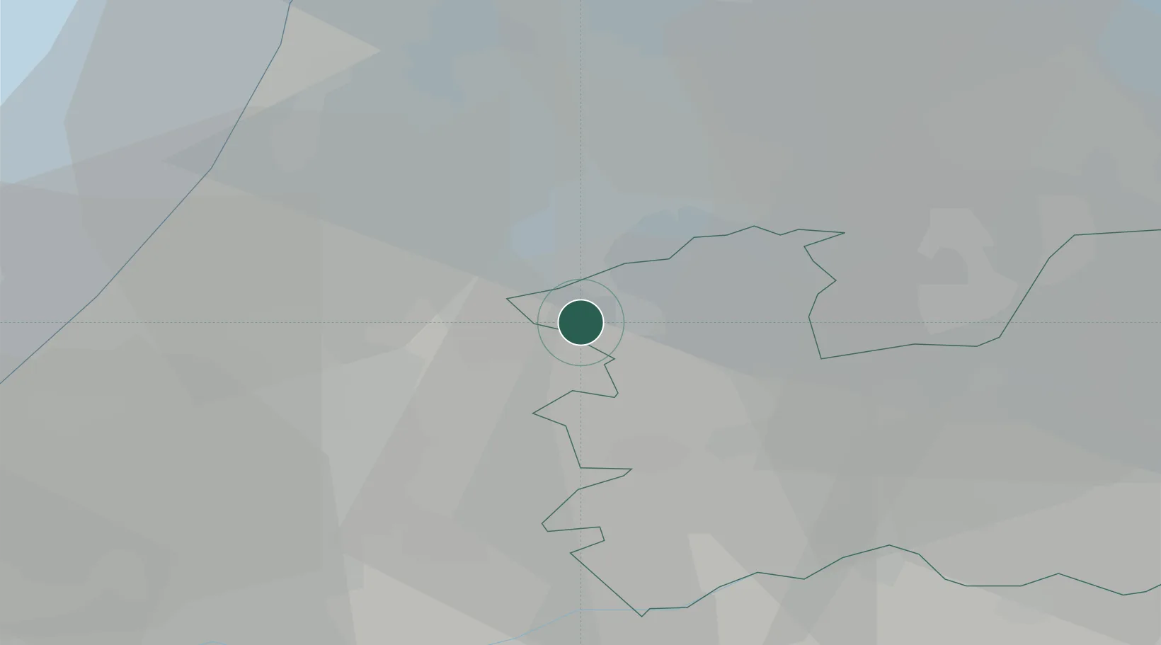
Location
Nearby Logistics Neighbours
Cities
- 1Amstelhoek4 km
- 2Vrouwenakker5 km
- 3Slikkendam6 km
- 4Nessersluis6 km
- 5Demmerik7 km
Ports
- 1Amsterdam19 km
- 2Zaandam26 km
- 3Ijmuiden34 km
- 4Scheveningen40 km
- 5Rotterdam41 km
Airports
- 1Amsterdam Airport Schiphol13 km
- 2Rotterdam The Hague Airport38 km
- 3Lelystad Airport54 km
- 4Gilze Rijen Air Base71 km
- 5Deelen Air Base73 km
Trade Zones
- 1Freeport of Duisburg147 km
- 2Rheinische Revier SWZ179 km
- 3ZFU Tourcoing201 km
- 4Freeport of Emden203 km
- 5ZFU Hem et Roubaix204 km
DatabookThe Record of Consolidated Knowledge
Netherlands beyond logistics?