Transport Functions
Port
Rail
Road
Hub Profile
Place type
Populated place
Region
Utrecht
Time zone
Europe/Amsterdam
Elevation
-1 m
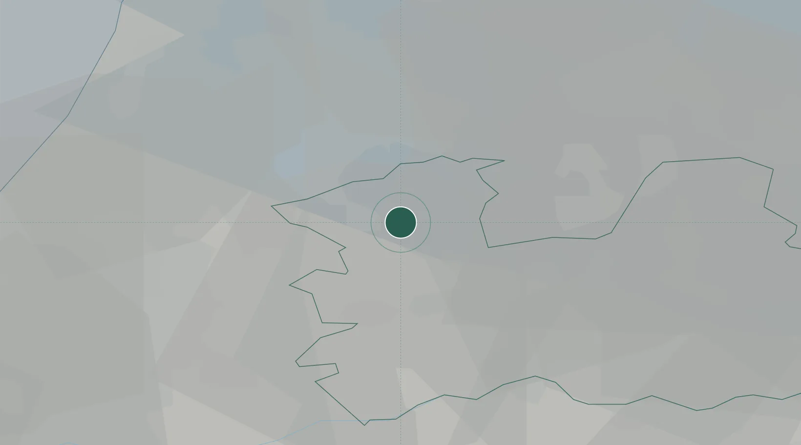
Location
Nearby Logistics Neighbours
Cities
- 1Loenersloot6 km
- 2Baambrugge7 km
- 3De Hoef7 km
- 4Nessersluis7 km
- 5Amstelhoek8 km
Ports
- 1Amsterdam19 km
- 2Zaandam27 km
- 3Ijmuiden38 km
- 4Rotterdam45 km
- 5Scheveningen47 km
Airports
- 1Amsterdam Airport Schiphol17 km
- 2Rotterdam The Hague Airport43 km
- 3Lelystad Airport49 km
- 4Deelen Air Base66 km
- 5Gilze Rijen Air Base70 km
Trade Zones
- 1Freeport of Duisburg141 km
- 2Rheinische Revier SWZ175 km
- 3Freeport of Emden198 km
- 4ZFU Tourcoing205 km
- 5ZFU Hem et Roubaix208 km
DatabookThe Record of Consolidated Knowledge
Netherlands beyond logistics?