Transport Functions
Rail
Road
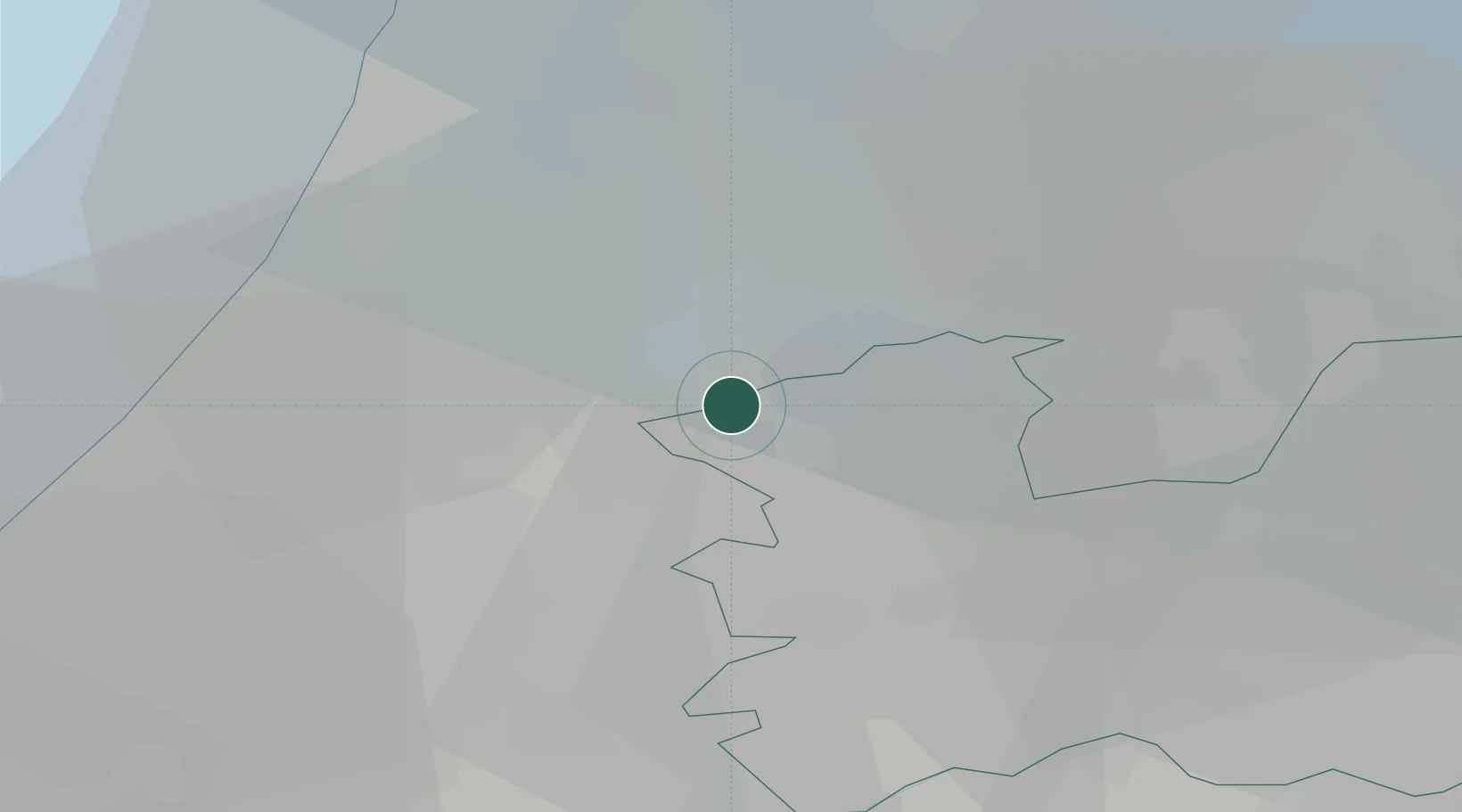
Hub Profile
Place type
Populated place
Region
Utrecht
Time zone
Europe/Amsterdam
Elevation
0 m
Location
Nearby Logistics Neighbours
Cities
- 1Nessersluis3 km
- 2Vrouwenakker3 km
- 3De Hoef4 km
- 4Nes aan de Amstel5 km
- 5Aalsmeerderbrug7 km
Ports
- 1Amsterdam16 km
- 2Zaandam22 km
- 3Ijmuiden31 km
- 4Scheveningen41 km
- 5Rotterdam44 km
Airports
- 1Amsterdam Airport Schiphol10 km
- 2Rotterdam The Hague Airport41 km
- 3Lelystad Airport52 km
- 4Deelen Air Base74 km
- 5Gilze Rijen Air Base74 km
Trade Zones
- 1Freeport of Duisburg149 km
- 2Rheinische Revier SWZ182 km
- 3Freeport of Emden200 km
- 4ZFU Tourcoing204 km
- 5ZFU Hem et Roubaix207 km
DatabookThe Record of Consolidated Knowledge
Netherlands beyond logistics?