Transport Functions
Road
Multimodal
Hub Profile
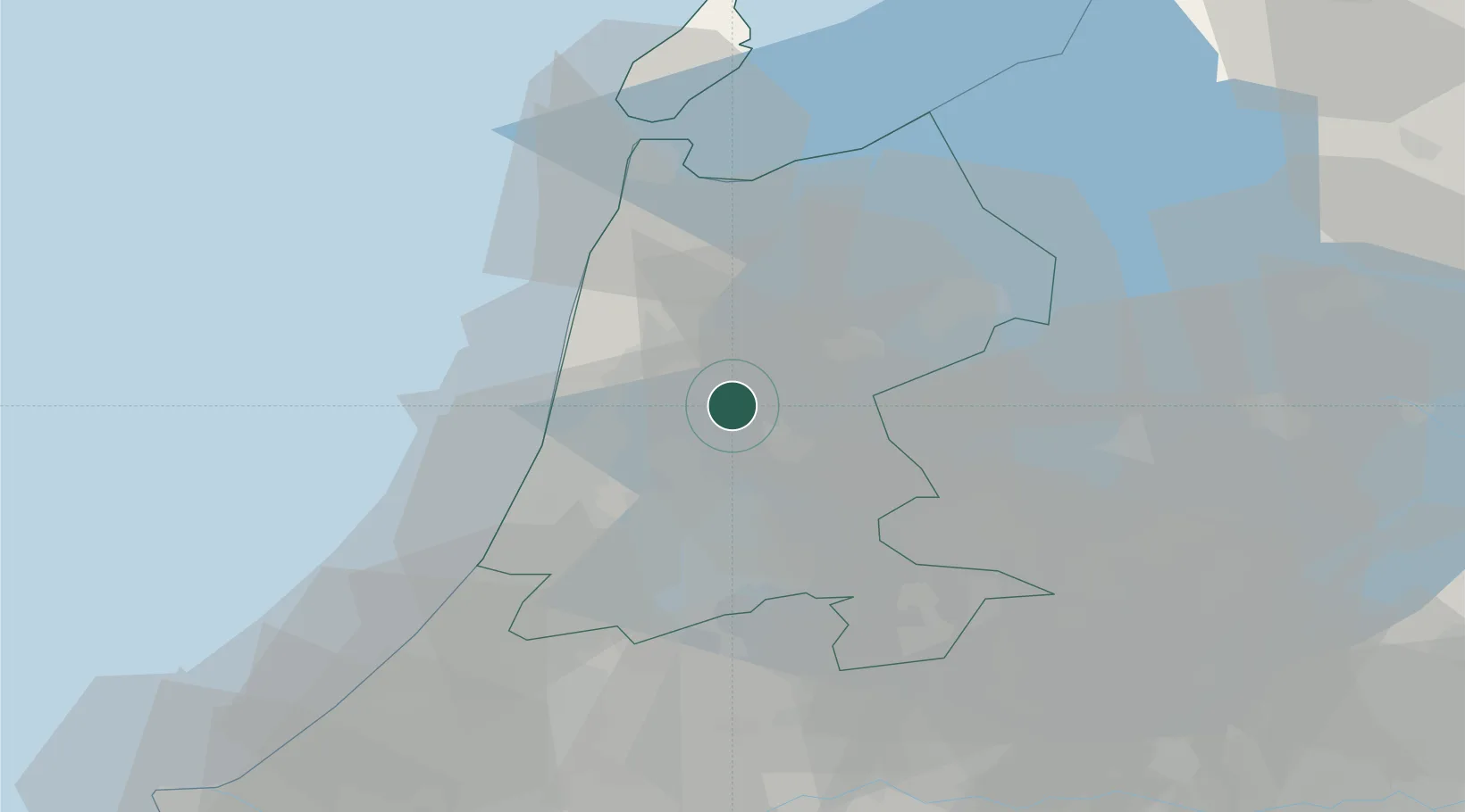
Place type
Populated place
Region
North Holland
Population
400
Time zone
Europe/Amsterdam
Elevation
-2 m
Location
Nearby Logistics Neighbours
Cities
- 1De Rijp2 km
- 2Schermerhorn4 km
- 3Beets6 km
- 4Neck6 km
- 5Zuidoostbeemster7 km
Ports
- 1Zaandam15 km
- 2Amsterdam22 km
- 3Ijmuiden23 km
- 4Den Helder45 km
- 5Scheveningen67 km
Airports
Trade Zones
- 1Freeport of Duisburg171 km
- 2Freeport of Emden177 km
- 3Rheinische Revier SWZ211 km
- 4ZFU Tourcoing237 km
- 5ZFU Hem et Roubaix240 km
DatabookThe Record of Consolidated Knowledge
Netherlands beyond logistics?