Transport Functions
Port
Road
Hub Profile
Place type
Populated place
Region
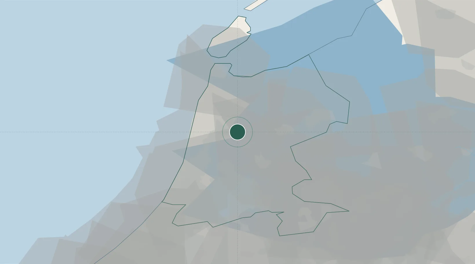
North Holland
Time zone
Europe/Amsterdam
Elevation
-2 m
Location
Nearby Logistics Neighbours
Cities
- 1Oterleek2 km
- 2Rustenburg3 km
- 3Stompetoren4 km
- 4Sint Pancras5 km
- 5Oudorp6 km
Ports
- 1Zaandam24 km
- 2Ijmuiden27 km
- 3Amsterdam32 km
- 4Den Helder36 km
- 5Harlingen70 km
Airports
Trade Zones
- 1Freeport of Emden174 km
- 2Freeport of Duisburg179 km
- 3Rheinische Revier SWZ220 km
- 4ZFU Tourcoing244 km
- 5ZFU Hem et Roubaix247 km
DatabookThe Record of Consolidated Knowledge
Netherlands beyond logistics?