Transport Functions
Port
Road
Multimodal
Postal
Hub Profile
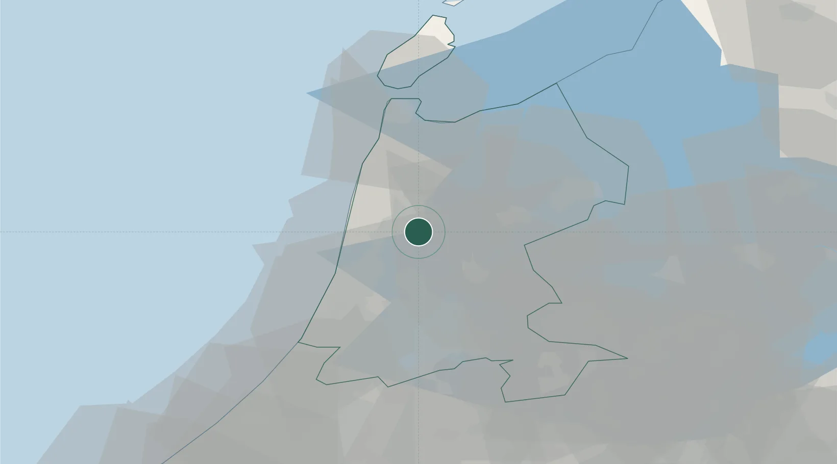
Place type
Populated place
Region
North Holland
Population
1,920
Time zone
Europe/Amsterdam
Elevation
-1 m
Location
Nearby Logistics Neighbours
Cities
- 1Oterleek2 km
- 2Oudorp4 km
- 3't Kruis4 km
- 4Rustenburg5 km
- 5Alkmaar5 km
Ports
- 1Zaandam20 km
- 2Ijmuiden23 km
- 3Amsterdam28 km
- 4Den Helder39 km
- 5Scheveningen69 km
Airports
Trade Zones
- 1Freeport of Duisburg178 km
- 2Freeport of Emden178 km
- 3Rheinische Revier SWZ218 km
- 4ZFU Tourcoing240 km
- 5ZFU Hem et Roubaix243 km
DatabookThe Record of Consolidated Knowledge
Netherlands beyond logistics?