Transport Functions
Port
Road
Hub Profile
Place type
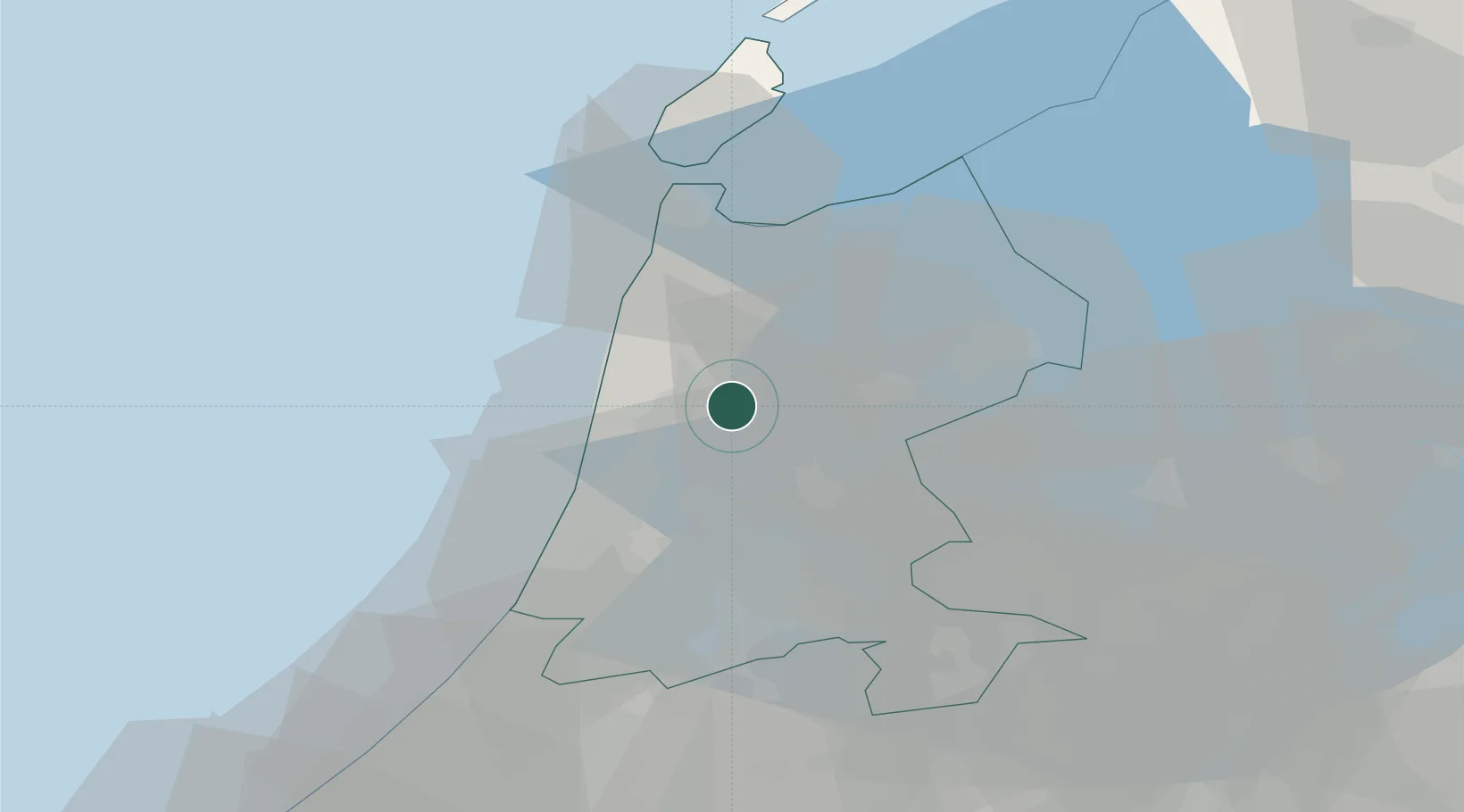
Populated place
Region
North Holland
Population
620
Time zone
Europe/Amsterdam
Elevation
1 m
Location
Nearby Logistics Neighbours
Cities
- 1't Kruis2 km
- 2Stompetoren2 km
- 3Rustenburg3 km
- 4Oudorp5 km
- 5Sint Pancras5 km
Ports
- 1Zaandam22 km
- 2Ijmuiden25 km
- 3Amsterdam30 km
- 4Den Helder37 km
- 5Scheveningen71 km
Airports
Trade Zones
- 1Freeport of Emden176 km
- 2Freeport of Duisburg178 km
- 3Rheinische Revier SWZ219 km
- 4ZFU Tourcoing242 km
- 5ZFU Hem et Roubaix245 km
DatabookThe Record of Consolidated Knowledge
Netherlands beyond logistics?