UN/LOCODE hub · Netherlands
NLSDB
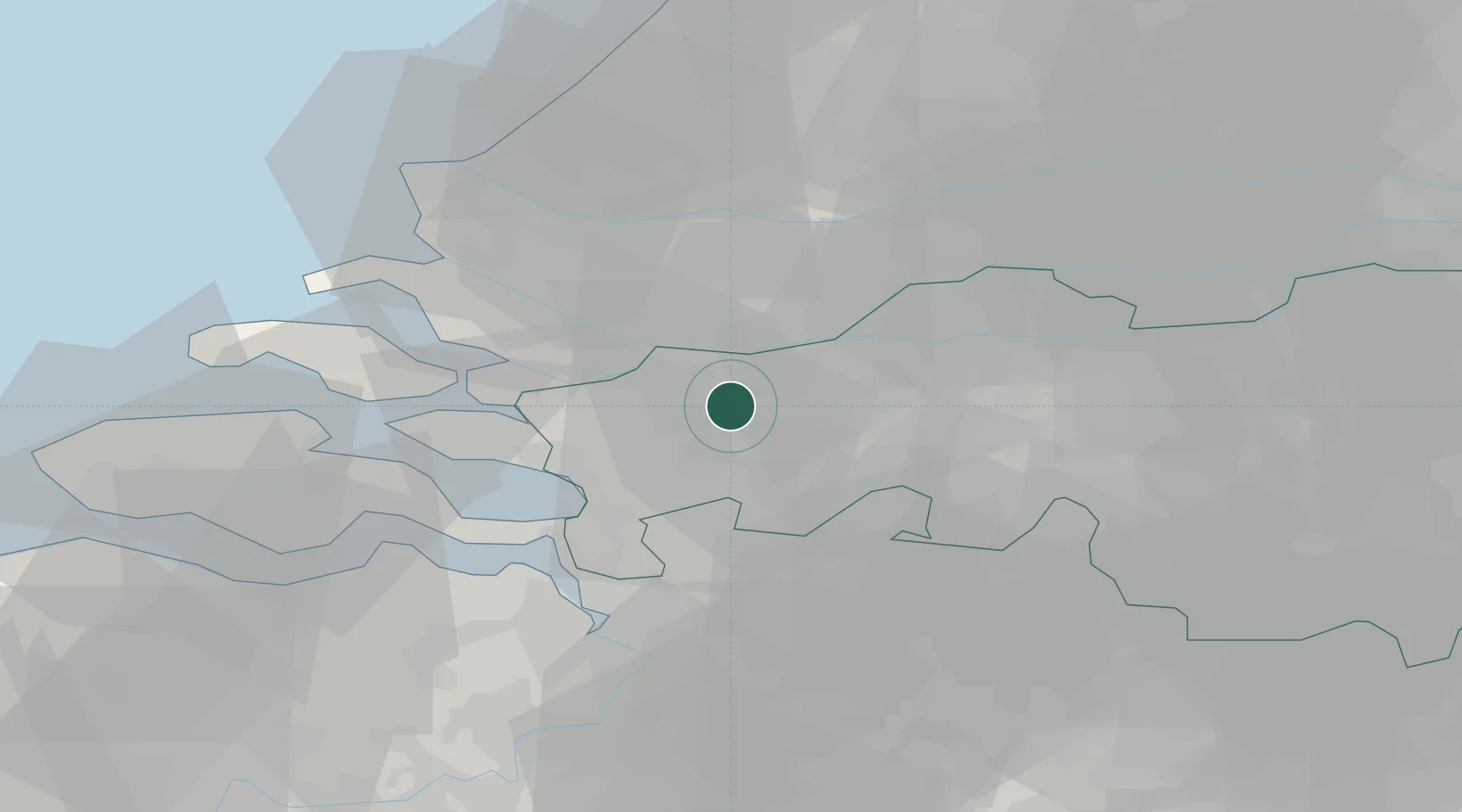
Standdaarbuiten
51.6167°, 4.5167°
1,930
Population
2
Transport functions
Transport Functions
Port
Road
Hub Profile
Place type
Populated place
Region
North Brabant
Population
1,930
Time zone
Europe/Amsterdam
Elevation
-1 m
Location
Nearby Logistics Neighbours
Cities
- 1Roosendaal10 km
- 2Moerdijk10 km
- 3Langeweg11 km
- 4Zevenbergschen Hoek12 km
- 5Etten Leur12 km
Ports
- 1Dordrecht24 km
- 2Rotterdam32 km
- 3Schiedam33 km
- 4Vlaardingen34 km
- 5Maassluis38 km
Airports
Trade Zones
- 1ZFU Tourcoing137 km
- 2ZFU Hem et Roubaix140 km
- 3ZFU Condé sur lEscaut144 km
- 4Freeport of Duisburg145 km
- 5Rheinische Revier SWZ152 km
DatabookThe Record of Consolidated Knowledge
Netherlands beyond logistics?