Transport Functions
Port
Road
Hub Profile
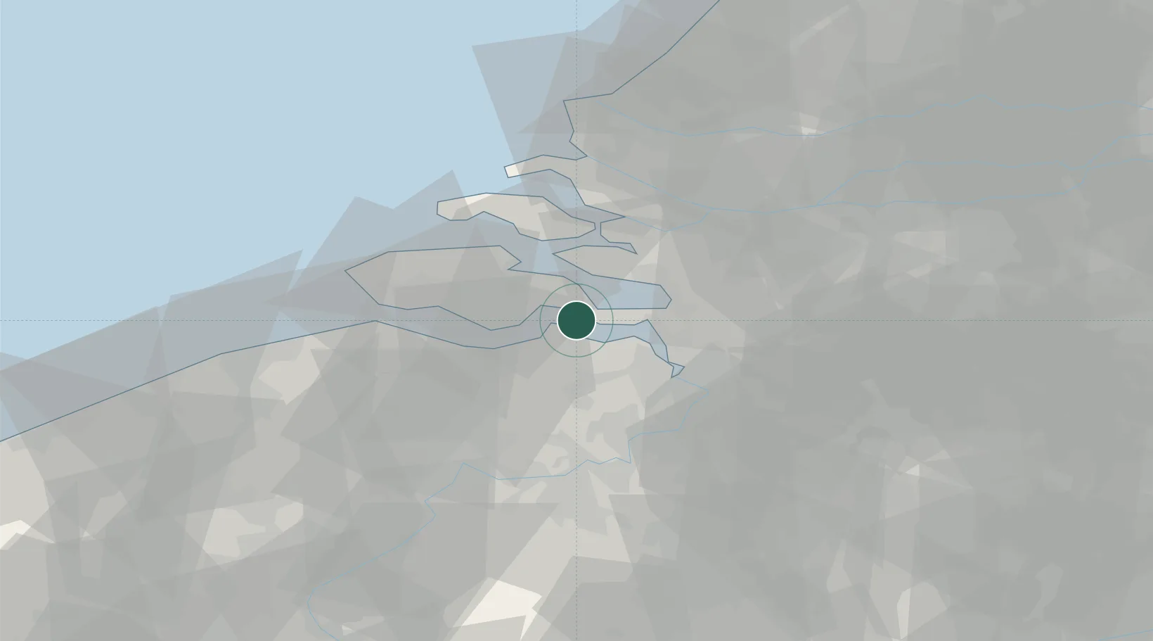
Place type
Populated place
Region
Zeeland
Population
1,080
Time zone
Europe/Amsterdam
Elevation
1 m
Location
Nearby Logistics Neighbours
Cities
- 1Walsoorden4 km
- 2Hansweert/Schore4 km
- 3Krabbendijke5 km
- 4Hengstdijk8 km
- 5Rilland9 km
Ports
- 1Hansweert5 km
- 2Terneuzen18 km
- 3Vlissingen31 km
- 4Antwerpen33 km
- 5Ghent45 km
Airports
Trade Zones
- 1ZFU Tourcoing99 km
- 2ZFU Hem et Roubaix102 km
- 3ZFU Condé sur lEscaut111 km
- 4ZFU de Lille et de Loos114 km
- 5ZFU Saint Pol sur Mer127 km
DatabookThe Record of Consolidated Knowledge
Netherlands beyond logistics?