Transport Functions
Port
Rail
Road
Hub Profile
Place type
Populated place
Region
Zeeland
Time zone
Europe/Amsterdam
Elevation
1 m
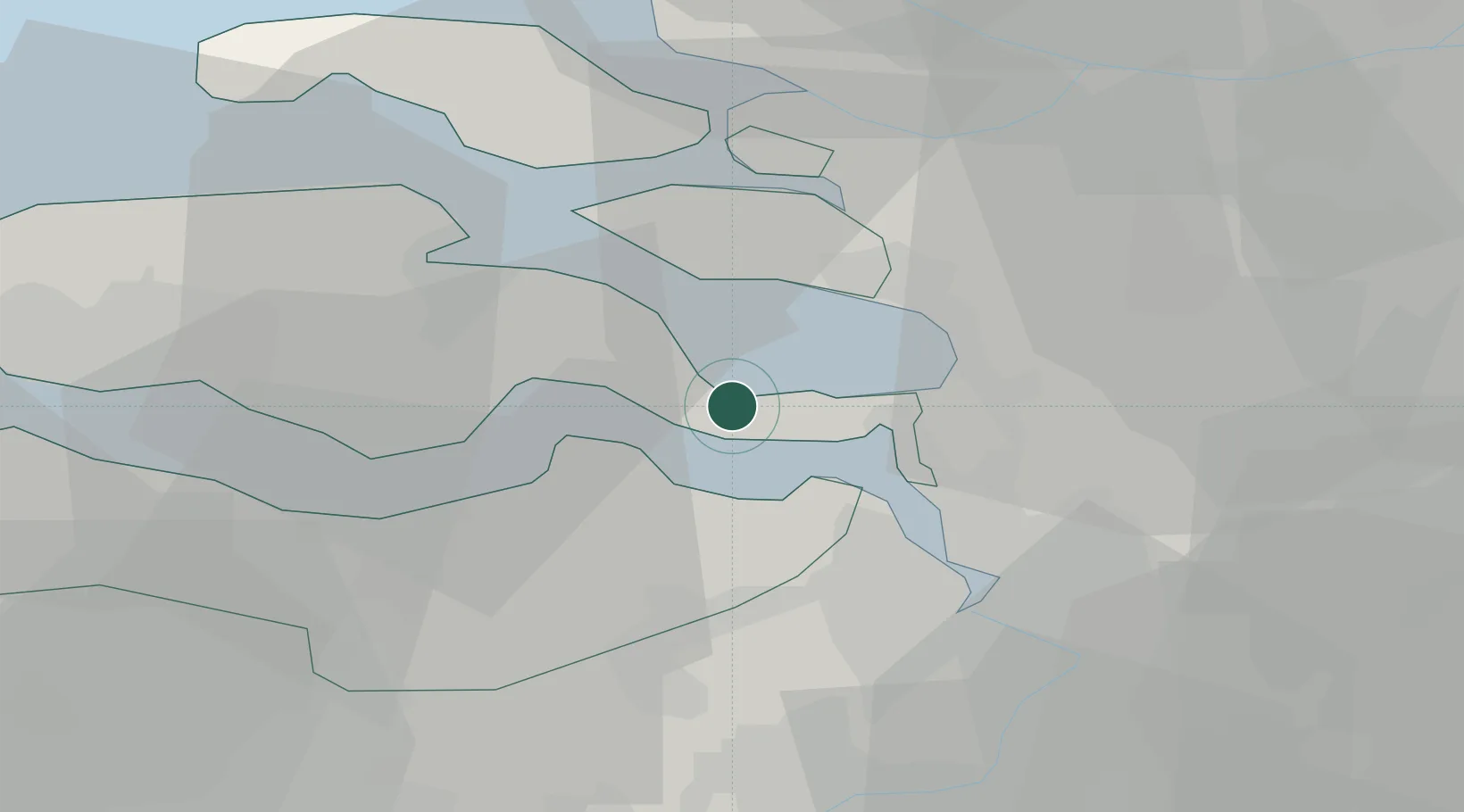
Location
Nearby Logistics Neighbours
Cities
- 1Rilland5 km
- 2Waarde5 km
- 3Walsoorden8 km
- 4Hansweert/Schore8 km
- 5S Heer Arendskerke11 km
Ports
- 1Hansweert8 km
- 2Terneuzen23 km
- 3Antwerpen31 km
- 4Vlissingen36 km
- 5Ghent49 km
Airports
Trade Zones
- 1ZFU Tourcoing104 km
- 2ZFU Hem et Roubaix106 km
- 3ZFU Condé sur lEscaut114 km
- 4ZFU de Lille et de Loos118 km
- 5ZFU Maubeuge, Louvroil131 km
DatabookThe Record of Consolidated Knowledge
Netherlands beyond logistics?