Transport Functions
Road
Multimodal
Hub Profile
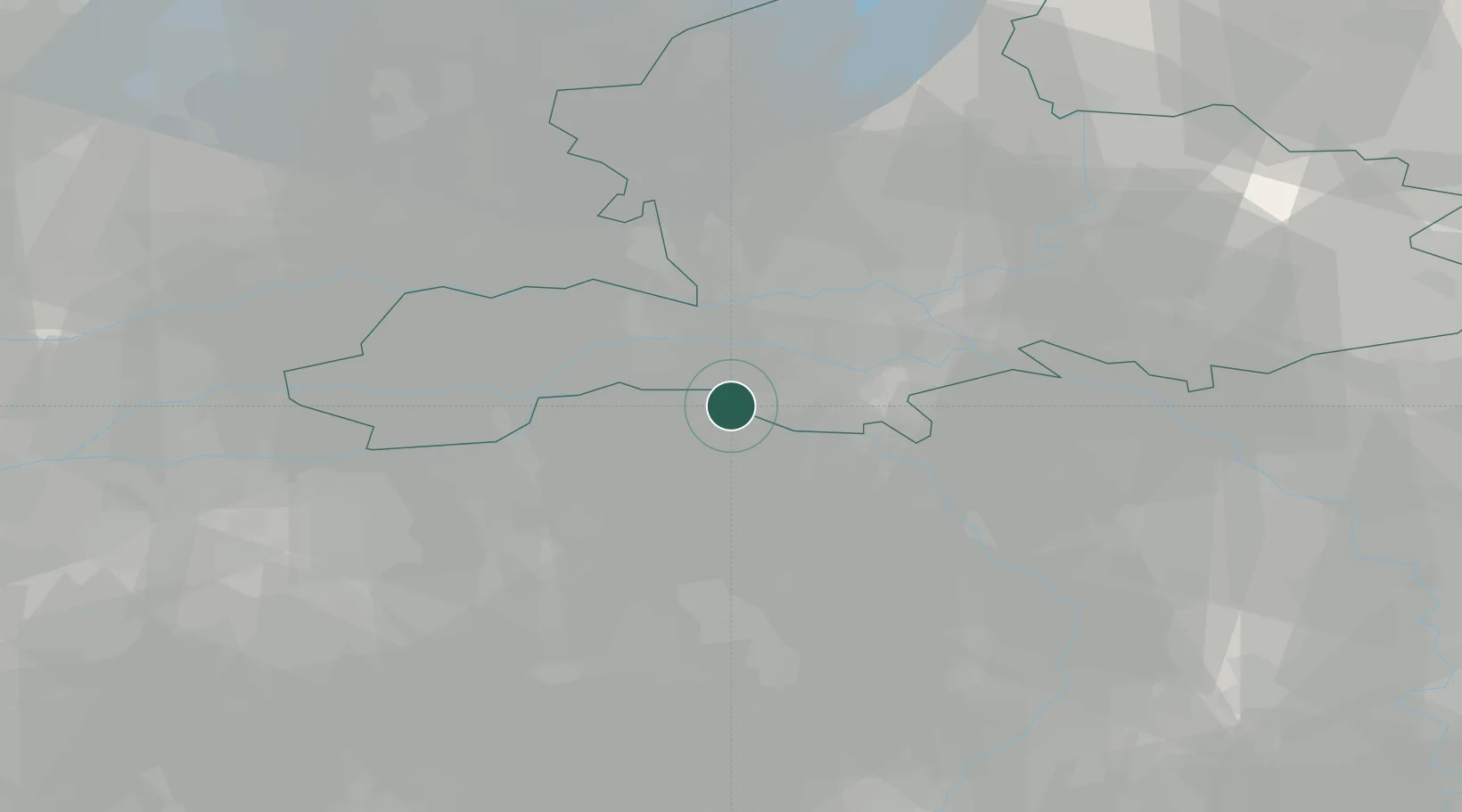
Place type
Populated place
Region
Gelderland
Population
295
Time zone
Europe/Amsterdam
Elevation
9 m
Location
Nearby Logistics Neighbours
Cities
- 1Schaijk6 km
- 2Nederasselt7 km
- 3Ewijk9 km
- 4Oss9 km
- 5Deest9 km
Airports
- 1Volkel Air Base16 km
- 2Deelen Air Base32 km
- 3Weeze (Niederrhein) Airport40 km
- 4Eindhoven Airport44 km
- 5Gilze Rijen Air Base57 km
Trade Zones
- 1Freeport of Duisburg75 km
- 2Rheinische Revier SWZ111 km
- 3Freeport of Emden199 km
- 4ZFU Condé sur lEscaut208 km
- 5ZFU Maubeuge, Louvroil210 km
DatabookThe Record of Consolidated Knowledge
Netherlands beyond logistics?