Transport Functions
Road
Multimodal
Hub Profile
Place type
Populated place
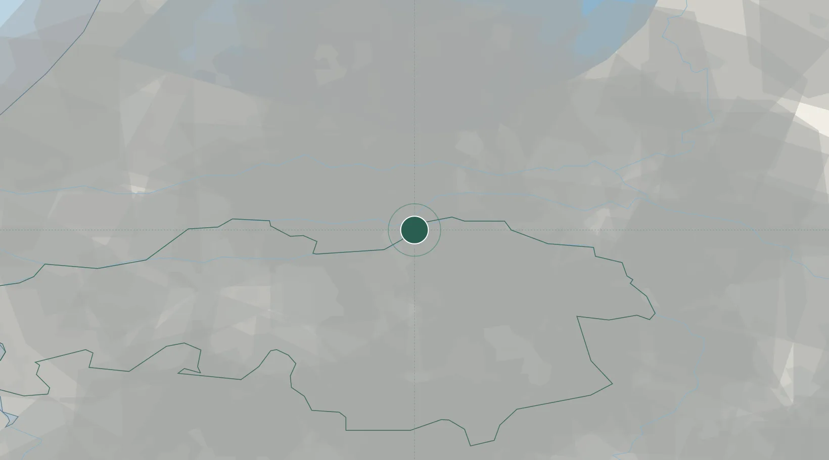
Region
North Brabant
Population
645
Time zone
Europe/Amsterdam
Elevation
8 m
Location
Nearby Logistics Neighbours
Cities
- 1Sint Andries3 km
- 2Lithoijen5 km
- 3Kerkdriel6 km
- 4Dreumel6 km
- 5's-Hertogenbosch6 km
Ports
- 1Dordrecht52 km
- 2Rotterdam64 km
- 3Schiedam70 km
- 4Amsterdam72 km
- 5Vlaardingen73 km
Airports
- 1Volkel Air Base27 km
- 2Eindhoven Airport39 km
- 3Gilze Rijen Air Base41 km
- 4Deelen Air Base44 km
- 5Weeze (Niederrhein) Airport56 km
Trade Zones
- 1Freeport of Duisburg91 km
- 2Rheinische Revier SWZ120 km
- 3ZFU Condé sur lEscaut195 km
- 4ZFU Tourcoing197 km
- 5ZFU Hem et Roubaix199 km
DatabookThe Record of Consolidated Knowledge
Netherlands beyond logistics?