Transport Functions
Road
Multimodal
Hub Profile
Place type
Populated place
Region
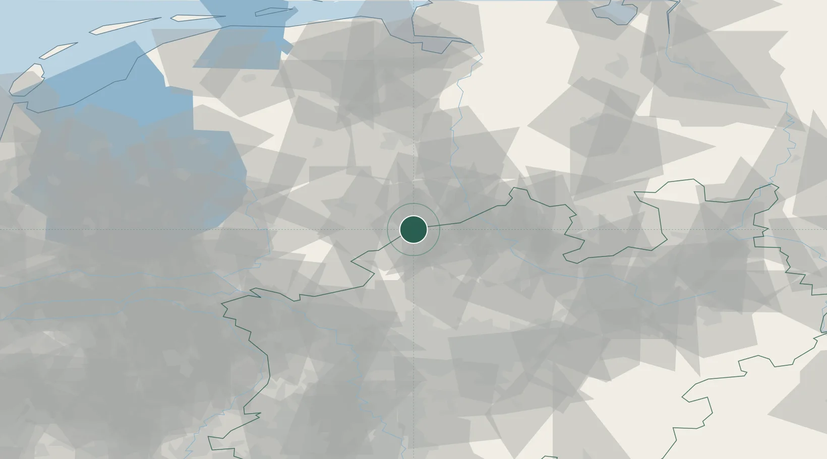
Overijssel
Time zone
Europe/Amsterdam
Elevation
38 m
Location
Nearby Logistics Neighbours
Cities
- 1Gronau2 km
- 2De Poppe9 km
- 3Bad Bentheim13 km
- 4Schüttorf17 km
- 5Hengelo17 km
Airports
- 1Twente Airport11 km
- 2Münster Osnabrück Airport46 km
- 3Deelen Air Base82 km
- 4Dortmund Airport89 km
- 5Weeze (Niederrhein) Airport93 km
Trade Zones
DatabookThe Record of Consolidated Knowledge
Netherlands beyond logistics?