Large airport · Germany

Münster Osnabrück AirportEDDG
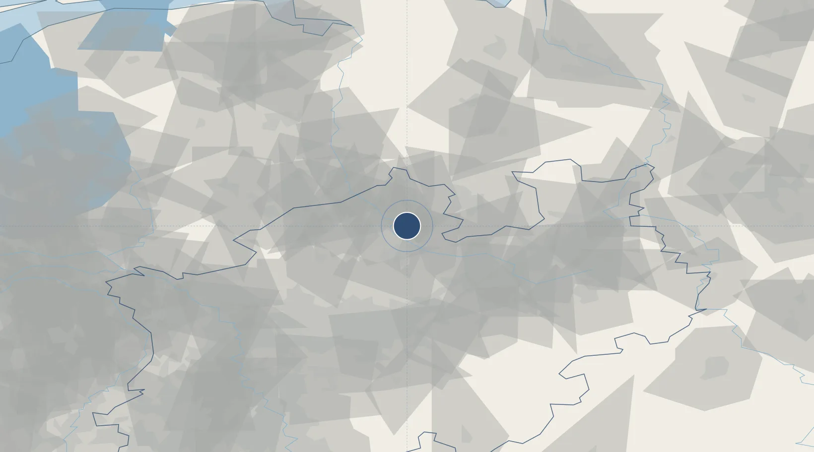
52.1338°, 7.6885°
7,119 ft
Longest runway
1
Runways
160 ft
Elevation

Runway & Layout

Münster Osnabrück Airport runway & taxiway layout
Runway & taxiway layout — OpenStreetMap (ODbL) / OurAirports

Radio Frequencies

ATIS
127.18 MHz
Muenster Osnabrueck ATIS
TWR
120.365 MHz
Muenster Osnabrueck Tower / Turm
TWR
129.805 MHz
Muenster Osnabrueck Tower / Turm
TWR
282.125 MHz
Muenster Osnabrueck Tower / Turm
GND
121.88 MHz
Muenster Osnabrueck Ground / Rollkontrolle
GND
282.125 MHz
Muenster Osnabrueck Ground / Rollkontrolle
AFIS
129.875 MHz
Langen Information
OurAirports

Navaids

MOD DME Munster 114.05 MHz
MST NDB Greven 305 kHz
MYN NDB Munster 371 kHz
OurAirports

Runways · 1

RunwayDimensions SurfaceTrue headingLit
07/25 7,119 × 148ft Asphalt 071°
OurAirports

Airport Specifications

IATA code
FMO
OurAirports
ICAO code
EDDG
OurAirports
Airport class
Large airport
OurAirports
Scheduled service
Yes
OurAirports
Runway surface
Asphalt
OurAirports
Served city
Greven
OurAirports

Location

Location of EDDG
Natural Earth 10m (public domain) · Nordrhein-Westfalen · EDDG · 52.13, 7.69GoogleOSMYandex

Nearby Logistics Neighbours

Airports
  1. 1Twente Airport57 km
  2. 2Bielefeld Airport62 km
  3. 3Diepholz Air Base67 km
  4. 4Dortmund Airport69 km
  5. 5Paderborn Lippstadt Airport86 km
Nearest neighbours — logibook spatial index (haversine) over the source coordinates
Cities
  1. 1Schmedehausen4 km
  2. 2Dorenthe9 km
  3. 3Riesenbeck16 km
  4. 4Münster19 km
  5. 5Lienen20 km
Nearest neighbours — logibook spatial index (haversine) over the source coordinates
Ports
  1. 1Papenburg109 km
  2. 2Oldenburg115 km
  3. 3Leer123 km
  4. 4Bremen133 km
  5. 5Elsfleth133 km
Nearest neighbours — logibook spatial index (haversine) over the source coordinates
Trade Zones
  1. 1Freeport of Duisburg108 km
  2. 2Freeport of Bremerhaven (Freihafen Bremerhaven)129 km
  3. 3Freeport of Emden138 km
  4. 4Rheinische Revier SWZ164 km
  5. 5Freeport of Cuxhaven (Freihafen Cuxhaven)197 km
Nearest neighbours — logibook spatial index (haversine) over the source coordinates
DatabookThe Record of Consolidated Knowledge
Germany beyond logistics?
Browse databook

All Sources

AirportsOurAirports
Public domain
Portsthe NGA World Port Index
Public domain (US gov)
LocationsUN/LOCODE
UN/LOCODE — free
Trade Zonesthe World Bank SEZ database
CC BY 4.0
Trade ZonesOpen Zone Map
CC BY
InfrastructureOpenStreetMap
ODbL 1.0
← Germany airports