Transport Functions
Port
Rail
Road
Hub Profile
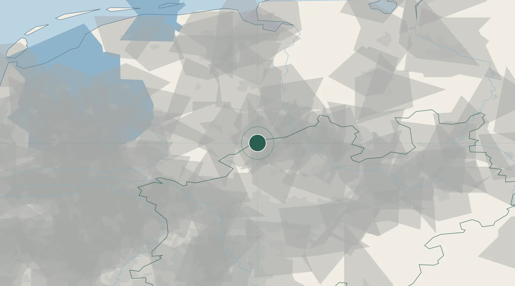
Place type
Populated place
Region
North Rhine-Westphalia
Population
46,161
Time zone
Europe/Berlin
Elevation
42 m
Location
Nearby Logistics Neighbours
Cities
- 1Overdinkel2 km
- 2De Poppe11 km
- 3Bad Bentheim14 km
- 4Hengelo17 km
- 5Schüttorf18 km
Airports
- 1Twente Airport12 km
- 2Münster Osnabrück Airport46 km
- 3Deelen Air Base81 km
- 4Dortmund Airport87 km
- 5Weeze (Niederrhein) Airport92 km
Trade Zones
DatabookThe Record of Consolidated Knowledge
Germany beyond logistics?