Transport Functions
Port
Rail
Road
Hub Profile
Place type
Provincial seat
Region
Overijssel
Population
82,311
Time zone
Europe/Amsterdam
Elevation
18 m
Logistics facilities
1
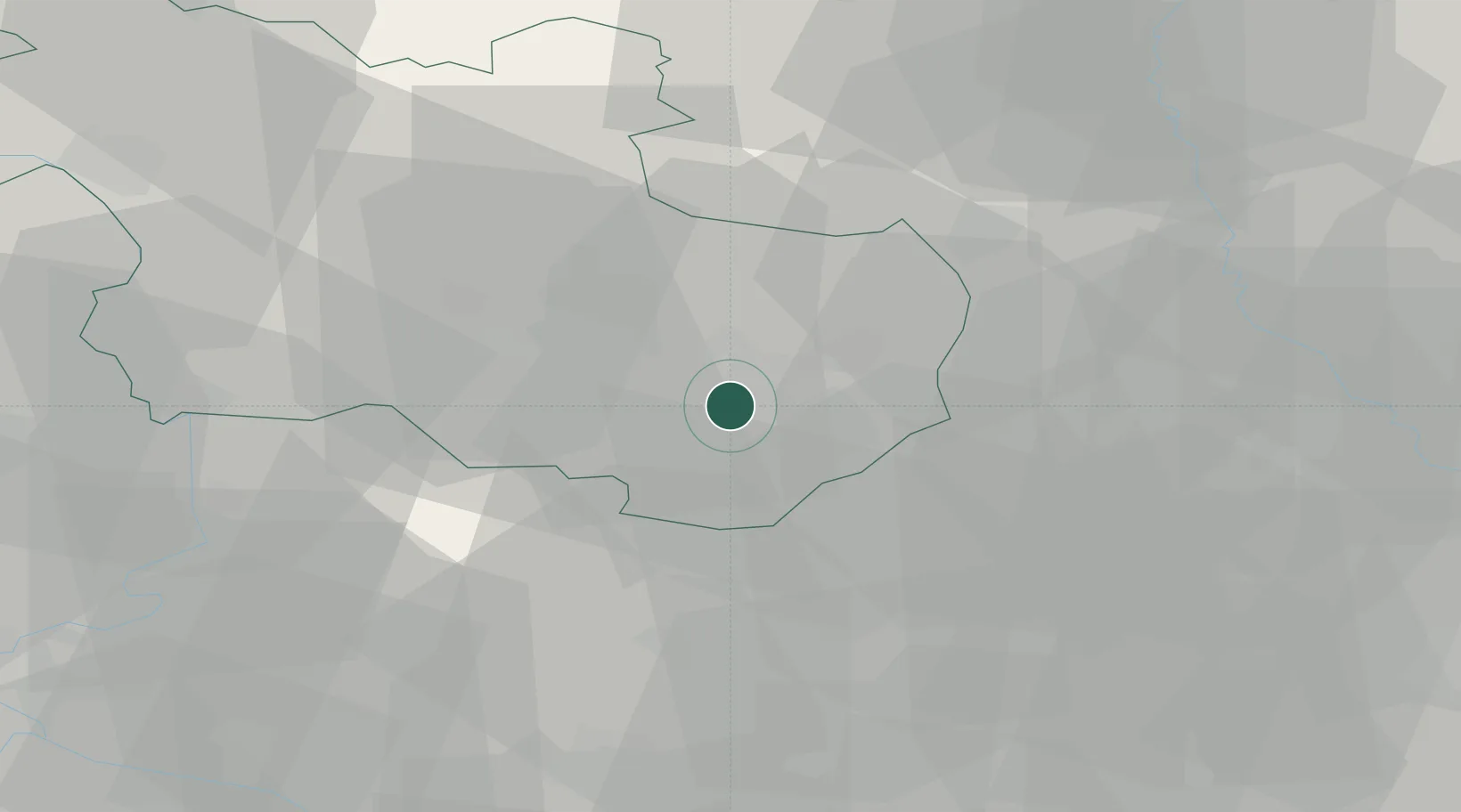
Location
Nearby Logistics Neighbours
Cities
- 1Delden5 km
- 2Bentelo7 km
- 3Almelo14 km
- 4Enter15 km
- 5Overdinkel17 km
Airports
- 1Twente Airport8 km
- 2Münster Osnabrück Airport63 km
- 3Deelen Air Base65 km
- 4Weeze (Niederrhein) Airport84 km
- 5Lelystad Airport89 km
Trade Zones
DatabookThe Record of Consolidated Knowledge
Netherlands beyond logistics?