Transport Functions
Rail
Road
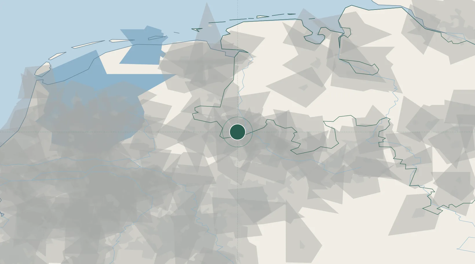
Hub Profile
Place type
Populated place
Region
North Rhine-Westphalia
Time zone
Europe/Berlin
Elevation
55 m
Location
Nearby Logistics Neighbours
Cities
- 1Bad Bentheim5 km
- 2Kunkemühle13 km
- 3Wettringen14 km
- 4De Poppe15 km
- 5Hesselte15 km
Airports
- 1Twente Airport24 km
- 2Münster Osnabrück Airport37 km
- 3Diepholz Air Base81 km
- 4Dortmund Airport93 km
- 5Deelen Air Base97 km
Trade Zones
DatabookThe Record of Consolidated Knowledge
Germany beyond logistics?