Channel & Berth Profile
Pilotage, Tugs & Services
Pilotage compulsoryYES
Potable waterYES
MedicalYES
Garbage disposalYES
Facilities & Capabilities
Container—
Ro-Ro—
Liquid bulk—
Dry bulk—
Oil terminal—
Break bulk—
Dry dock—
RepairsNO
BunkeringYES
Rail linkYES
Dangerous cargo—
ISPS security—
Harbour Specifications
Harbour size
Very Small
Harbour type
River (Natural)
Shelter
Good
Water body
North Sea; North Atlantic Ocean
Tidal range
3 m
Overhead limit
Yes
Pilotage
Yes
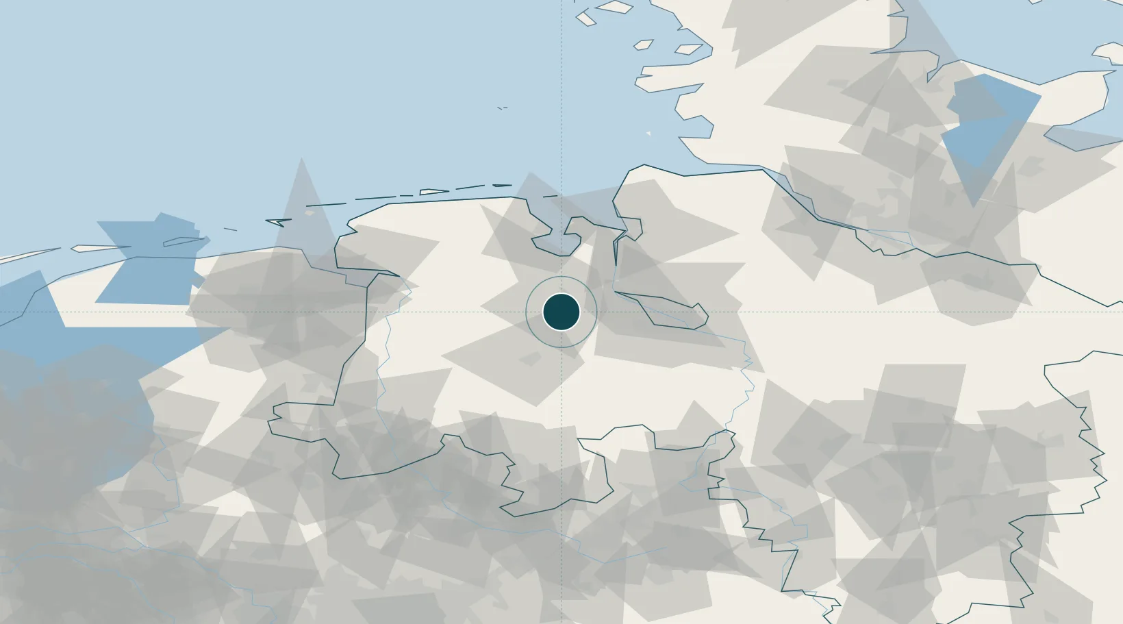
Location
Nearby Logistics Neighbours
Ports
- 1Elsfleth21 km
- 2Brake30 km
- 3Bremen37 km
- 4Nordenham45 km
- 5Wilhelmshaven46 km
Cities
- 1Hundsmühlen3 km
- 2Wüsting9 km
- 3Holle11 km
- 4Hatten14 km
- 5Rastede15 km
Airports
- 1Bremen Airport39 km
- 2Diepholz Air Base60 km
- 3Wittmundhafen Air Base60 km
- 4Harlesiel Airfield71 km
- 5Emden Airport73 km
Trade Zones
DatabookThe Record of Consolidated Knowledge
Germany beyond logistics?