Transport Functions
Rail
Road
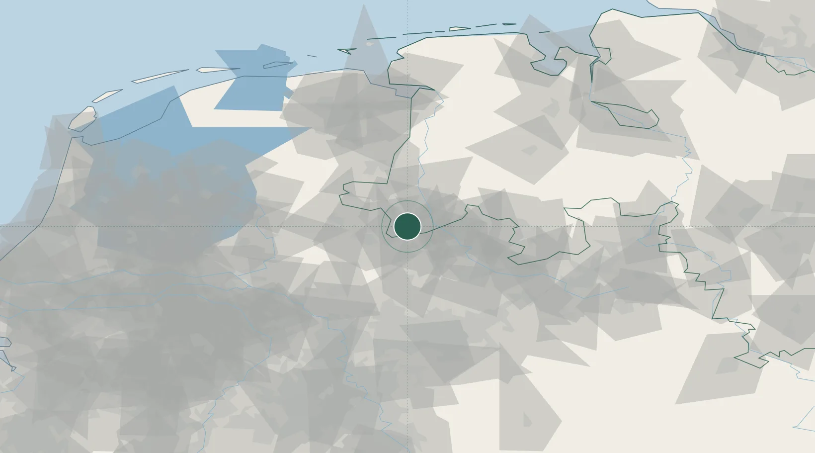
Hub Profile
Place type
Populated place
Region
Lower Saxony
Population
15,508
Time zone
Europe/Berlin
Elevation
60 m
Location
Nearby Logistics Neighbours
Cities
- 1Schüttorf5 km
- 2De Poppe10 km
- 3Overdinkel13 km
- 4Nordhorn14 km
- 5Gronau14 km
Airports
- 1Twente Airport19 km
- 2Münster Osnabrück Airport41 km
- 3Diepholz Air Base85 km
- 4Deelen Air Base93 km
- 5Dortmund Airport94 km
Trade Zones
DatabookThe Record of Consolidated Knowledge
Germany beyond logistics?