Transport Functions
Rail
Road
Hub Profile
Place type
Populated place
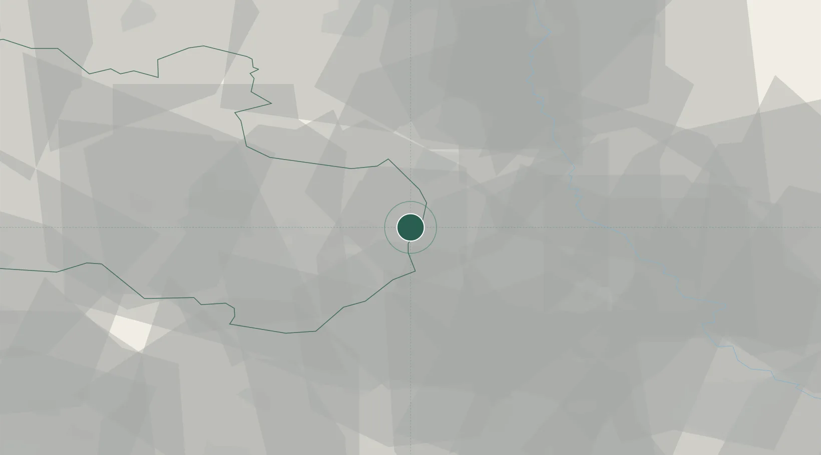
Region
Overijssel
Time zone
Europe/Amsterdam
Elevation
35 m
Location
Nearby Logistics Neighbours
Cities
- 1Overdinkel9 km
- 2Bad Bentheim10 km
- 3Gronau11 km
- 4Nordhorn14 km
- 5Schüttorf15 km
Airports
- 1Twente Airport10 km
- 2Münster Osnabrück Airport50 km
- 3Deelen Air Base83 km
- 4Groningen Airport Eelde94 km
- 5Diepholz Air Base95 km
Trade Zones
DatabookThe Record of Consolidated Knowledge
Netherlands beyond logistics?