Transport Functions
Port
Road
Hub Profile
Place type
Populated place
Region
North Holland
Time zone
Europe/Amsterdam
Elevation
-2 m
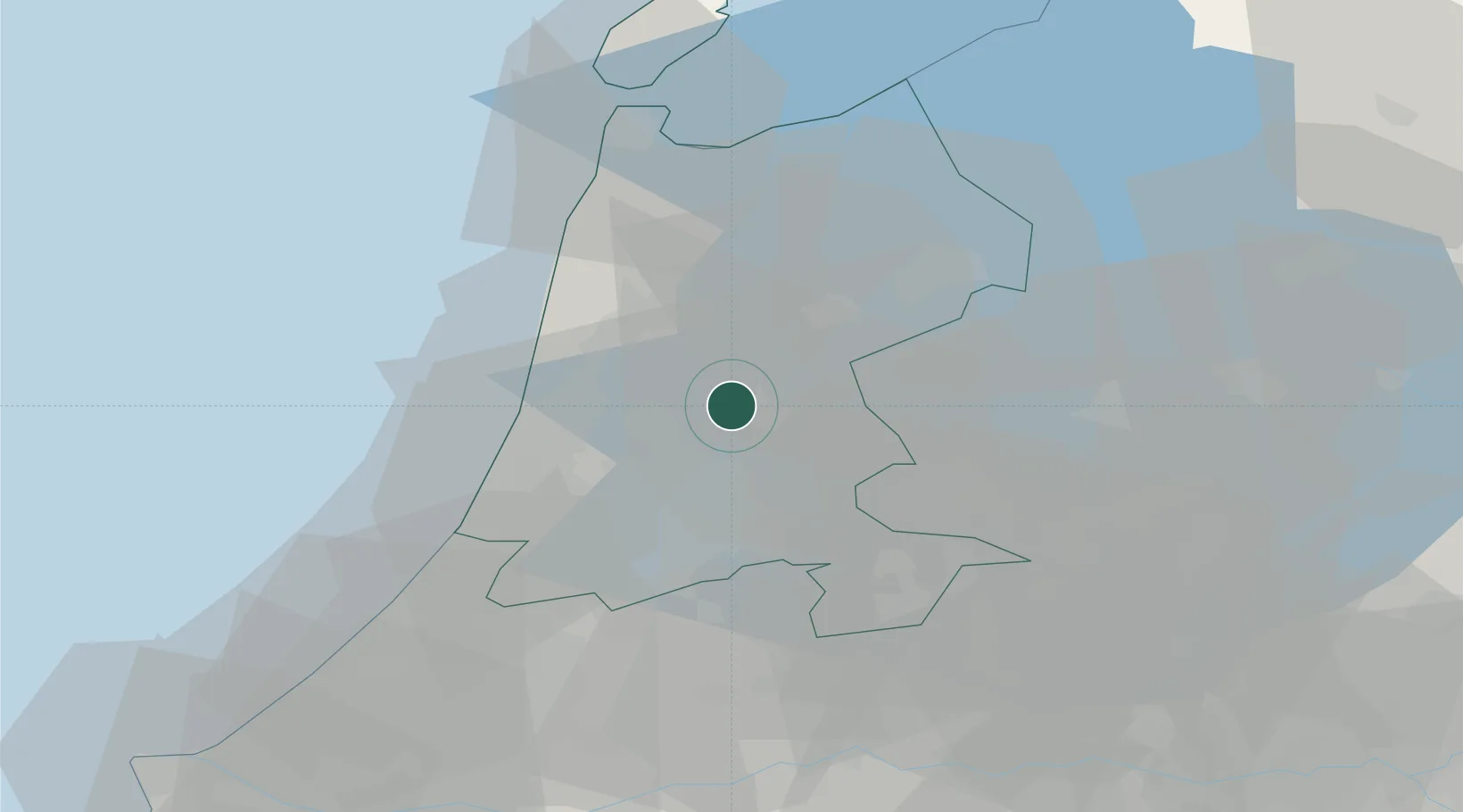
Location
Nearby Logistics Neighbours
Cities
- 1Zuidoostbeemster1 km
- 2Westbeemster6 km
- 3Haaldersbroek7 km
- 4Wormer7 km
- 5De Rijp7 km
Ports
- 1Zaandam11 km
- 2Amsterdam17 km
- 3Ijmuiden23 km
- 4Den Helder51 km
- 5Scheveningen64 km
Airports
Trade Zones
- 1Freeport of Duisburg165 km
- 2Freeport of Emden178 km
- 3Rheinische Revier SWZ205 km
- 4ZFU Tourcoing233 km
- 5ZFU Hem et Roubaix237 km
DatabookThe Record of Consolidated Knowledge
Netherlands beyond logistics?