Transport Functions
Port
Rail
Road
Hub Profile
Region
FR
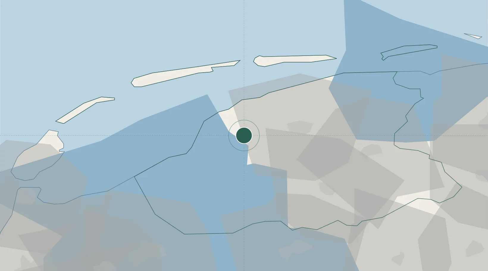
Location
Nearby Logistics Neighbours
Cities
- 1Oosterlittens5 km
- 2Menaldum7 km
- 3Wieuwerd8 km
- 4Burgwerd10 km
- 5Leons11 km
Ports
- 1Harlingen12 km
- 2Den Helder59 km
- 3Eemshaven88 km
- 4Delfzijl91 km
- 5Zaandam97 km
Airports
- 1Leeuwarden Air Base13 km
- 2De Kooy Airfield / Den Helder Naval Air Station61 km
- 3Groningen Airport Eelde65 km
- 4Lelystad Airport80 km
- 5Borkum Airport88 km
Trade Zones
DatabookThe Record of Consolidated Knowledge
Netherlands beyond logistics?