Transport Functions
Port
Road
Hub Profile
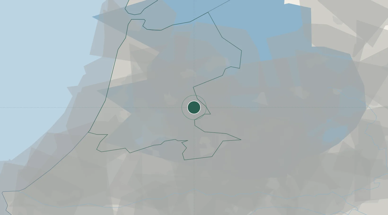
Place type
Populated place
Region
North Holland
Population
1,846
Time zone
Europe/Amsterdam
Elevation
0 m
Location
Nearby Logistics Neighbours
Cities
- 1Den Lip13 km
- 2Zuidoostbeemster13 km
- 3Oosthuizen13 km
- 4Neck14 km
- 5Almere14 km
Ports
- 1Amsterdam18 km
- 2Zaandam18 km
- 3Ijmuiden35 km
- 4Den Helder60 km
- 5Scheveningen70 km
Airports
Trade Zones
- 1Freeport of Duisburg153 km
- 2Freeport of Emden170 km
- 3Rheinische Revier SWZ194 km
- 4ZFU Tourcoing236 km
- 5ZFU Hem et Roubaix239 km
DatabookThe Record of Consolidated Knowledge
Netherlands beyond logistics?