Transport Functions
Port
Road
Multimodal
Hub Profile
Region
FL
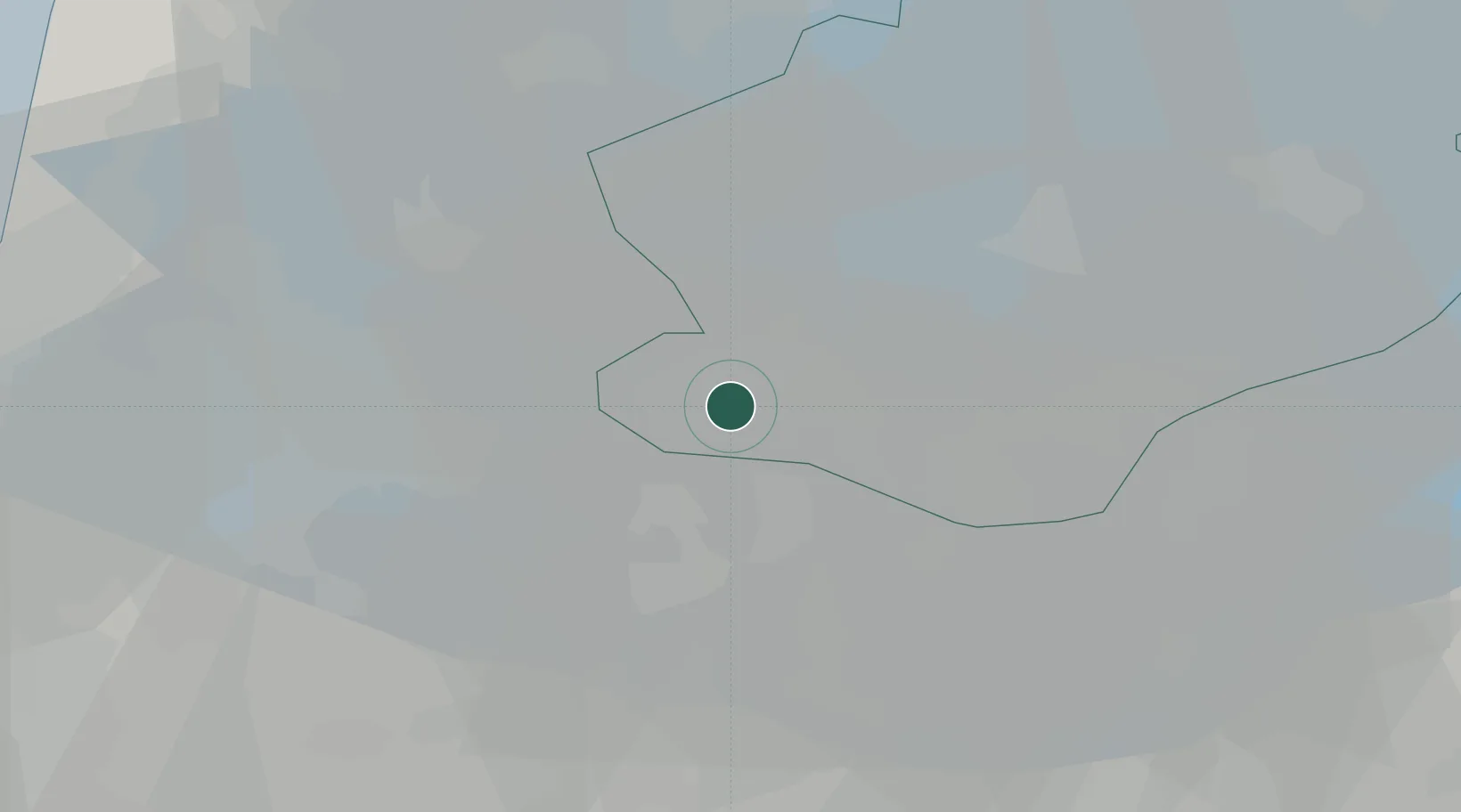
Location
Nearby Logistics Neighbours
Cities
- 1Formerum6 km
- 2Muiderberg8 km
- 3Hakkelaarsbrug10 km
- 4Muiden11 km
- 5Uitermeer12 km
Ports
- 1Amsterdam22 km
- 2Zaandam27 km
- 3Ijmuiden44 km
- 4Scheveningen71 km
- 5Rotterdam72 km
Airports
Trade Zones
- 1Freeport of Duisburg139 km
- 2Freeport of Emden171 km
- 3Rheinische Revier SWZ181 km
- 4ZFU Tourcoing232 km
- 5ZFU Hem et Roubaix234 km
DatabookThe Record of Consolidated Knowledge
Netherlands beyond logistics?