UN/LOCODE hub · Netherlands
NLHTB
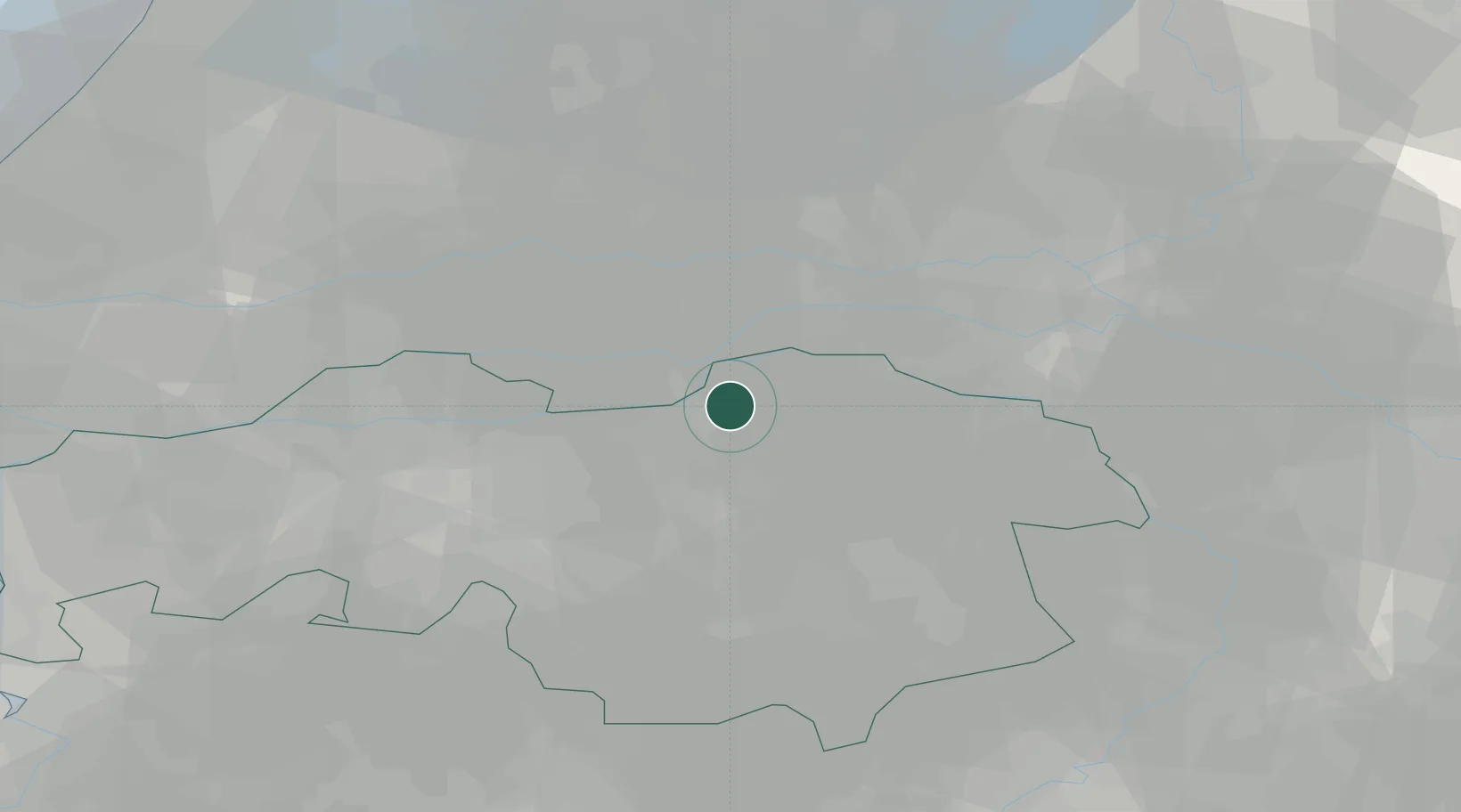
's-Hertogenbosch
51.7454°, 5.4076°
160,783
Population
3
Transport functions
Transport Functions
Port
Rail
Road
Hub Profile
Place type
Regional capital
Region
North Brabant
Population
160,783
Time zone
Europe/Amsterdam
Elevation
7 m
Logistics facilities
2
Location
Nearby Logistics Neighbours
Cities
- 1Nuland4 km
- 2Empel5 km
- 3Kerkdriel6 km
- 4Maren-Kessel6 km
- 5Sint Andries7 km
Ports
- 1Dordrecht53 km
- 2Rotterdam66 km
- 3Schiedam71 km
- 4Vlaardingen75 km
- 5Amsterdam77 km
Airports
- 1Volkel Air Base23 km
- 2Eindhoven Airport33 km
- 3Gilze Rijen Air Base38 km
- 4Deelen Air Base47 km
- 5Weeze (Niederrhein) Airport53 km
Trade Zones
- 1Freeport of Duisburg88 km
- 2Rheinische Revier SWZ115 km
- 3ZFU Condé sur lEscaut191 km
- 4ZFU Tourcoing193 km
- 5ZFU Maubeuge, Louvroil195 km
DatabookThe Record of Consolidated Knowledge
Netherlands beyond logistics?