Transport Functions
Port
Road
Hub Profile
Place type
Populated place
Region
Gelderland
Time zone
Europe/Amsterdam
Elevation
6 m
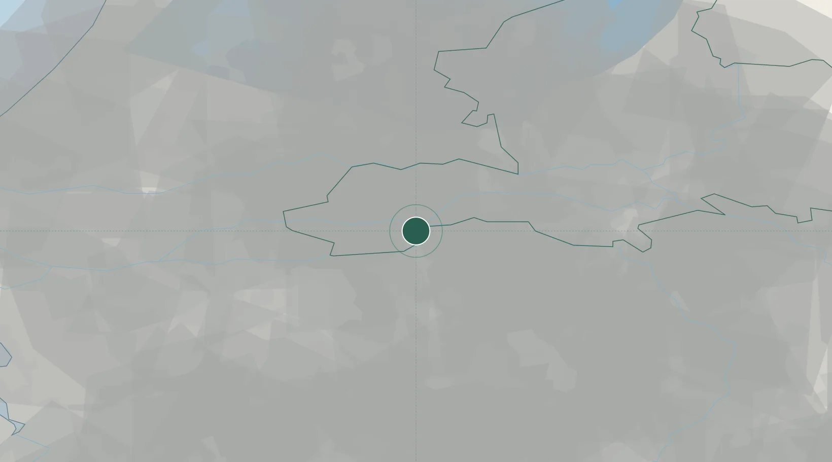
Location
Nearby Logistics Neighbours
Cities
- 1Maren-Kessel3 km
- 2Kerkdriel4 km
- 3's-Hertogenbosch7 km
- 4Empel8 km
- 5Dreumel8 km
Ports
- 1Dordrecht48 km
- 2Rotterdam61 km
- 3Schiedam66 km
- 4Vlaardingen70 km
- 5Amsterdam70 km
Airports
- 1Volkel Air Base29 km
- 2Gilze Rijen Air Base39 km
- 3Eindhoven Airport39 km
- 4Deelen Air Base46 km
- 5Weeze (Niederrhein) Airport59 km
Trade Zones
- 1Freeport of Duisburg94 km
- 2Rheinische Revier SWZ122 km
- 3ZFU Condé sur lEscaut193 km
- 4ZFU Tourcoing194 km
- 5ZFU Hem et Roubaix196 km
DatabookThe Record of Consolidated Knowledge
Netherlands beyond logistics?