Transport Functions
Port
Multimodal
Hub Profile
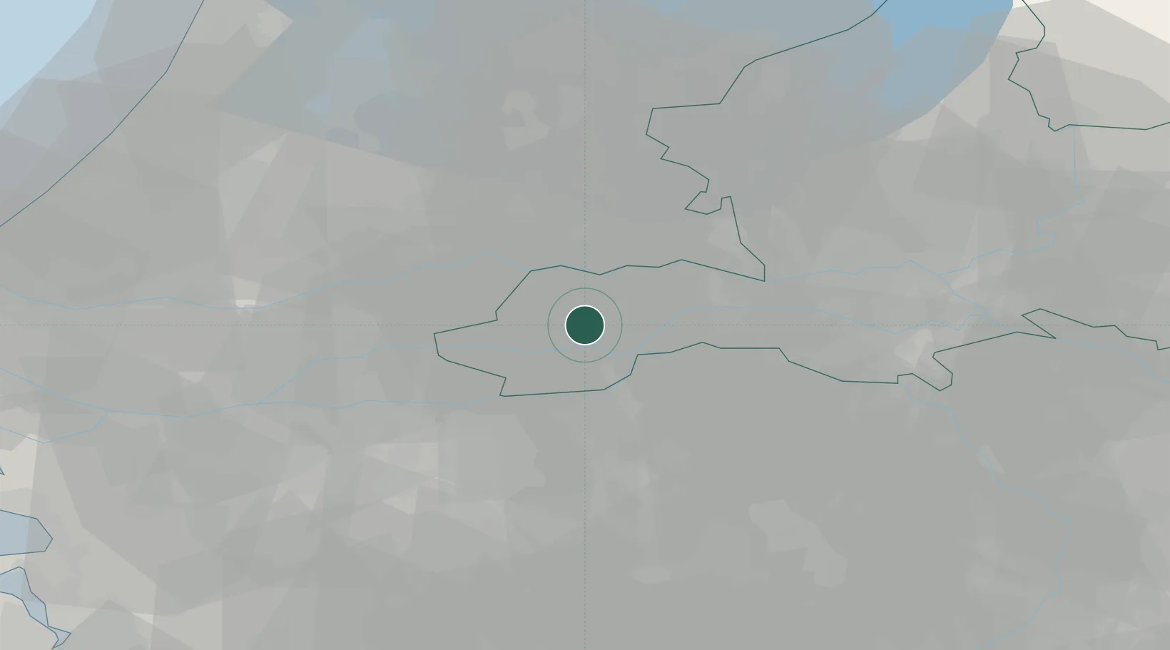
Place type
Populated place
Region
Gelderland
Population
3,855
Time zone
Europe/Amsterdam
Elevation
5 m
Location
Nearby Logistics Neighbours
Cities
- 1Tuil7 km
- 2Kapel-Avezaath7 km
- 3Haaften7 km
- 4Sint Andries9 km
- 5Dreumel11 km
Ports
- 1Dordrecht44 km
- 2Rotterdam55 km
- 3Schiedam61 km
- 4Amsterdam62 km
- 5Vlaardingen64 km
Airports
- 1Volkel Air Base37 km
- 2Gilze Rijen Air Base41 km
- 3Deelen Air Base46 km
- 4Eindhoven Airport47 km
- 5Rotterdam The Hague Airport59 km
Trade Zones
- 1Freeport of Duisburg101 km
- 2Rheinische Revier SWZ131 km
- 3ZFU Tourcoing195 km
- 4ZFU Condé sur lEscaut196 km
- 5ZFU Hem et Roubaix197 km
DatabookThe Record of Consolidated Knowledge
Netherlands beyond logistics?