Transport Functions
Port
Road
Border Crossing
Hub Profile
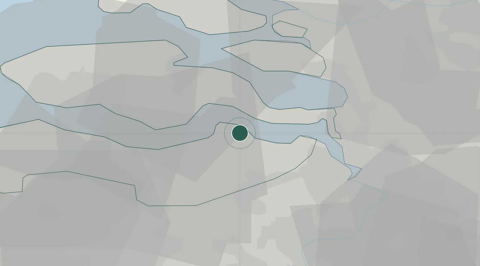
Place type
Populated place
Region
Zeeland
Population
165
Time zone
Europe/Amsterdam
Elevation
1 m
Location
Nearby Logistics Neighbours
Cities
- 1Waarde4 km
- 2Hengstdijk4 km
- 3Hansweert/Schore6 km
- 4Krabbendijke8 km
- 5Zaamslag11 km
Ports
- 1Hansweert8 km
- 2Terneuzen16 km
- 3Vlissingen31 km
- 4Antwerpen32 km
- 5Ghent41 km
Airports
Trade Zones
- 1ZFU Tourcoing96 km
- 2ZFU Hem et Roubaix98 km
- 3ZFU Condé sur lEscaut107 km
- 4ZFU de Lille et de Loos110 km
- 5ZFU Saint Pol sur Mer125 km
DatabookThe Record of Consolidated Knowledge
Netherlands beyond logistics?