Transport Functions
Port
Road
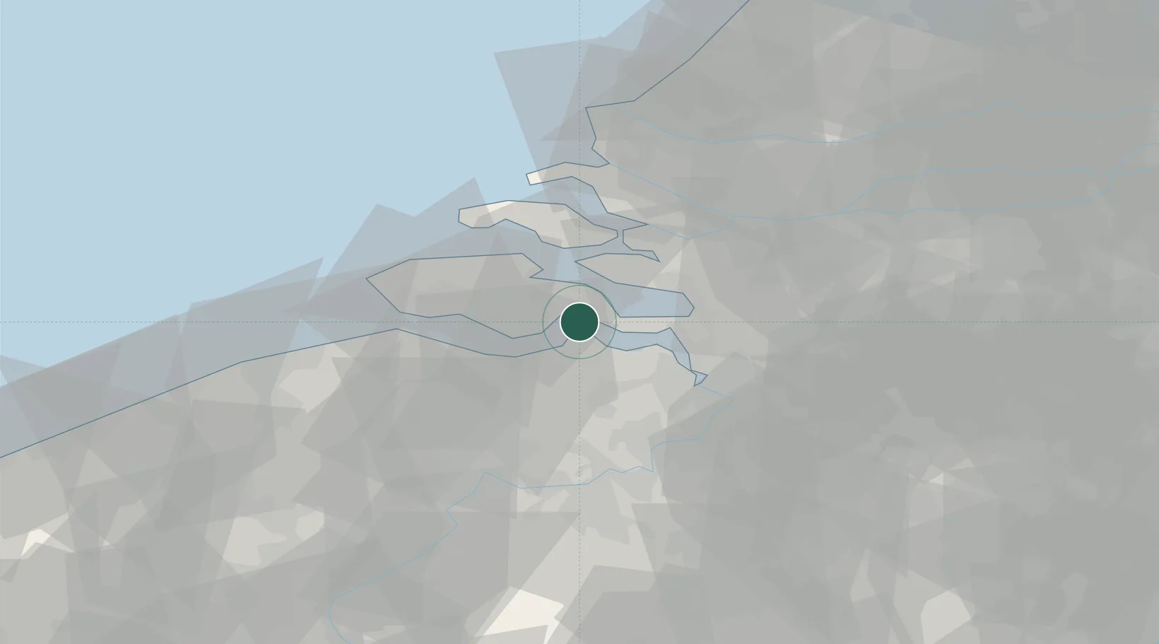
Location
Nearby Logistics Neighbours
Cities
- 1Waarde4 km
- 2Walsoorden6 km
- 3's-Gravenpolder7 km
- 4S Heer Arendskerke7 km
- 5Krabbendijke8 km
Ports
- 1Terneuzen16 km
- 2Vlissingen28 km
- 3Antwerpen37 km
- 4Ghent45 km
- 5Maassluis56 km
Airports
Trade Zones
- 1ZFU Tourcoing98 km
- 2ZFU Hem et Roubaix101 km
- 3ZFU Condé sur lEscaut112 km
- 4ZFU de Lille et de Loos113 km
- 5ZFU Saint Pol sur Mer124 km
DatabookThe Record of Consolidated Knowledge
Netherlands beyond logistics?