UN/LOCODE hub · Netherlands
NLHVK
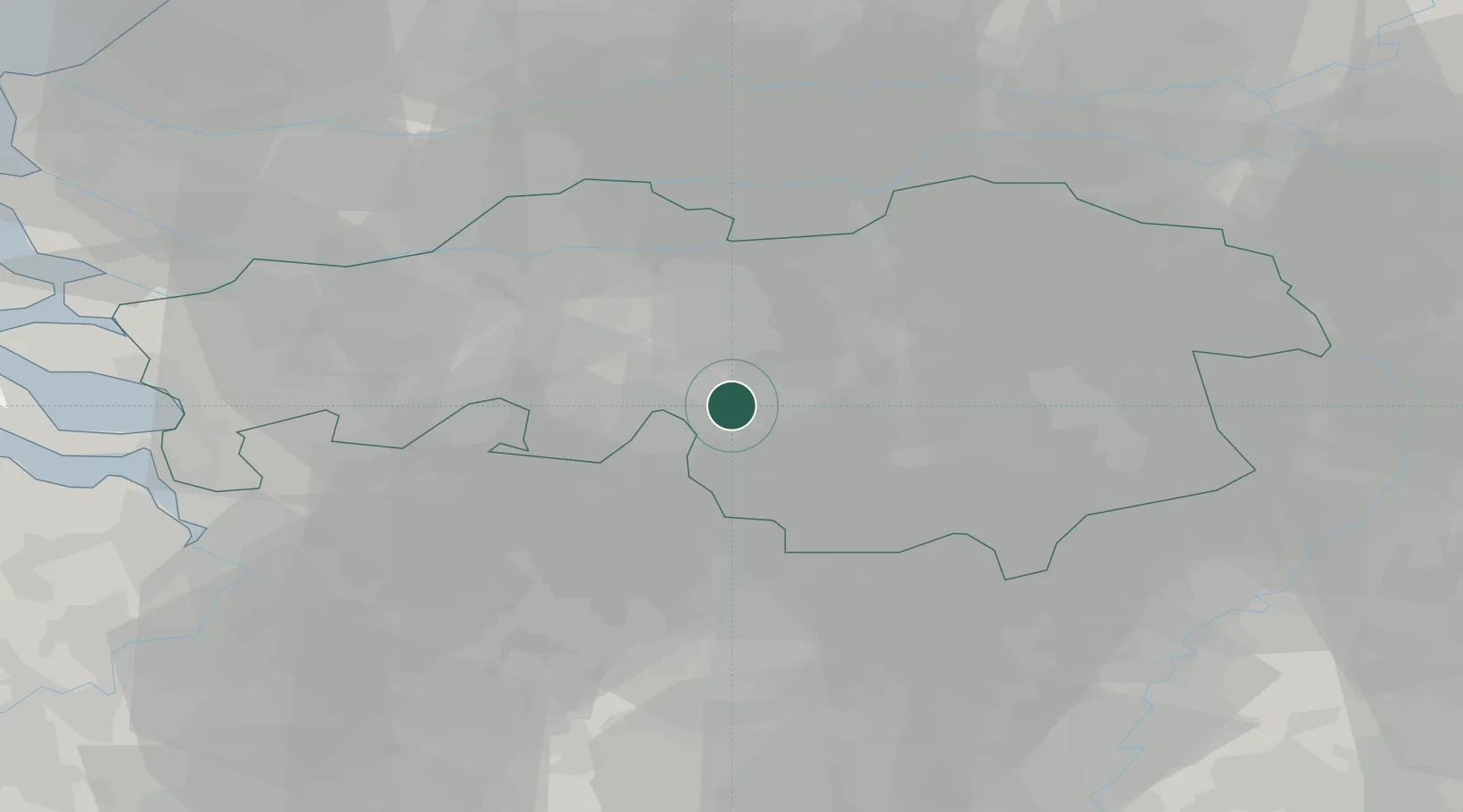
Hilvarenbeek
51.4833°, 5.1333°
7,855
Population
2
Transport functions
Transport Functions
Port
Road
Hub Profile
Place type
Populated place
Region
North Brabant
Population
7,855
Time zone
Europe/Amsterdam
Elevation
18 m
Location
Nearby Logistics Neighbours
Cities
- 1Biest4 km
- 2Haghorst6 km
- 3Ried9 km
- 4Lage Mierde9 km
- 5Tilburg12 km
Ports
- 1Dordrecht50 km
- 2Antwerpen59 km
- 3Rotterdam65 km
- 4Schiedam69 km
- 5Vlaardingen71 km
Airports
- 1Gilze Rijen Air Base17 km
- 2Eindhoven Airport17 km
- 3Kempen Airport Budel41 km
- 4Kleine Brogel Air Base42 km
- 5Volkel Air Base44 km
Trade Zones
- 1Freeport of Duisburg101 km
- 2Rheinische Revier SWZ108 km
- 3ZFU Condé sur lEscaut157 km
- 4ZFU Maubeuge, Louvroil160 km
- 5ZFU Tourcoing162 km
DatabookThe Record of Consolidated Knowledge
Netherlands beyond logistics?