Transport Functions
Port
Rail
Road
Hub Profile
Place type
Populated place
Region
North Brabant
Population
221,947
Time zone
Europe/Amsterdam
Elevation
16 m
Logistics facilities
3
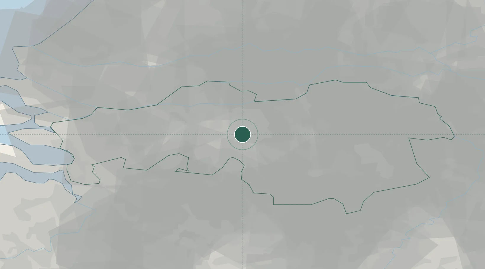
Location
Nearby Logistics Neighbours
Cities
- 1Ried8 km
- 2Biezenmortel9 km
- 3Biest9 km
- 4Sprang9 km
- 5Sprang-Capelle9 km
Ports
- 1Dordrecht39 km
- 2Rotterdam54 km
- 3Schiedam58 km
- 4Vlaardingen61 km
- 5Antwerpen62 km
Airports
- 1Gilze Rijen Air Base10 km
- 2Eindhoven Airport26 km
- 3Volkel Air Base45 km
- 4Kempen Airport Budel52 km
- 5Woensdrecht Air Base53 km
Trade Zones
- 1Freeport of Duisburg106 km
- 2Rheinische Revier SWZ118 km
- 3ZFU Condé sur lEscaut162 km
- 4ZFU Tourcoing164 km
- 5ZFU Hem et Roubaix166 km
DatabookThe Record of Consolidated Knowledge
Netherlands beyond logistics?