Medium airport · Belgium
Kleine Brogel Air BaseEBBL
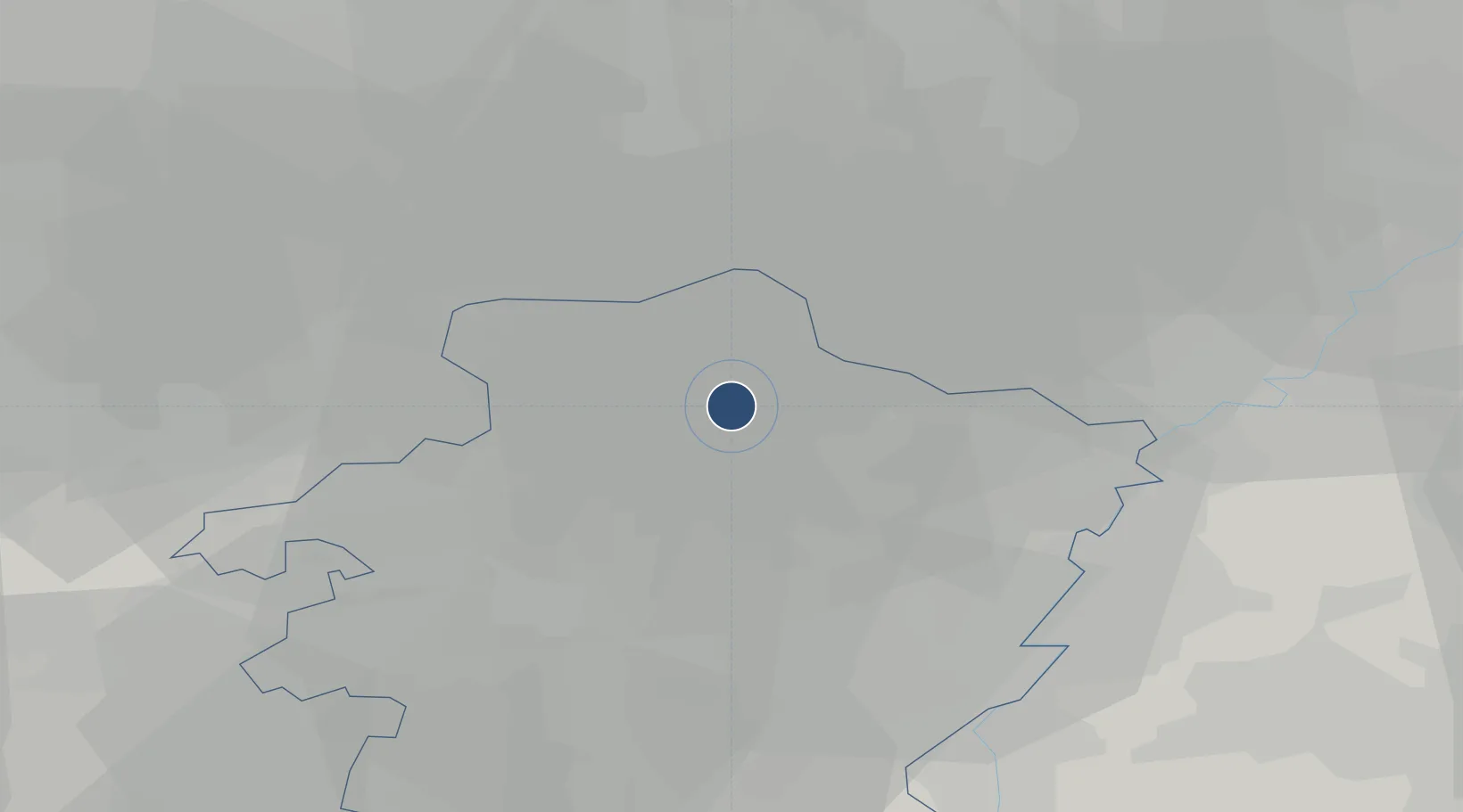
51.1683°, 5.4700°
10,158 ft
Longest runway
2
Runways
200 ft
Elevation
Runway & Layout

Radio Frequencies
TWR
134.105 MHz
GND
122.1 MHz
TAXI
APP
134.48 MHz
Navaids
BBL TACAN Kleine Brogel 109.60 MHz
ONT NDB Kleine Brogel 431 kHz
Runways · 2
| Runway | Dimensions | Surface | True heading | Lit |
|---|---|---|---|---|
| 05L/23R | 10,158 × 148ft | Asphalt / concrete | 050° | ✓ |
| 05R/23L | 7,874 × 75ft | Asphalt / concrete | 050° | — |
Airport Specifications
ICAO code
EBBL
Airport class
Medium airport
Scheduled service
No
Runway surface
Asphalt / concrete
Served city
Kleine Brogel
Location
Nearby Logistics Neighbours
Airports
- 1Kempen Airport Budel13 km
- 2Eindhoven Airport32 km
- 3Maastricht Aachen Airport35 km
- 4Geilenkirchen Air Base46 km
- 5Volkel Air Base57 km
Cities
- 1Kaulille4 km
- 2Herent4 km
- 3Sint-Huibrechts-Lille6 km
- 4Neerpelt7 km
- 5Overpelt7 km
Trade Zones
- 1Rheinische Revier SWZ70 km
- 2Freeport of Duisburg84 km
- 3ZFU Maubeuge, Louvroil148 km
- 4ZFU Condé sur lEscaut154 km
- 5ZFU Ronde Couture167 km
DatabookThe Record of Consolidated Knowledge
Belgium beyond logistics?