Transport Functions
Road
Multimodal
Hub Profile
Place type
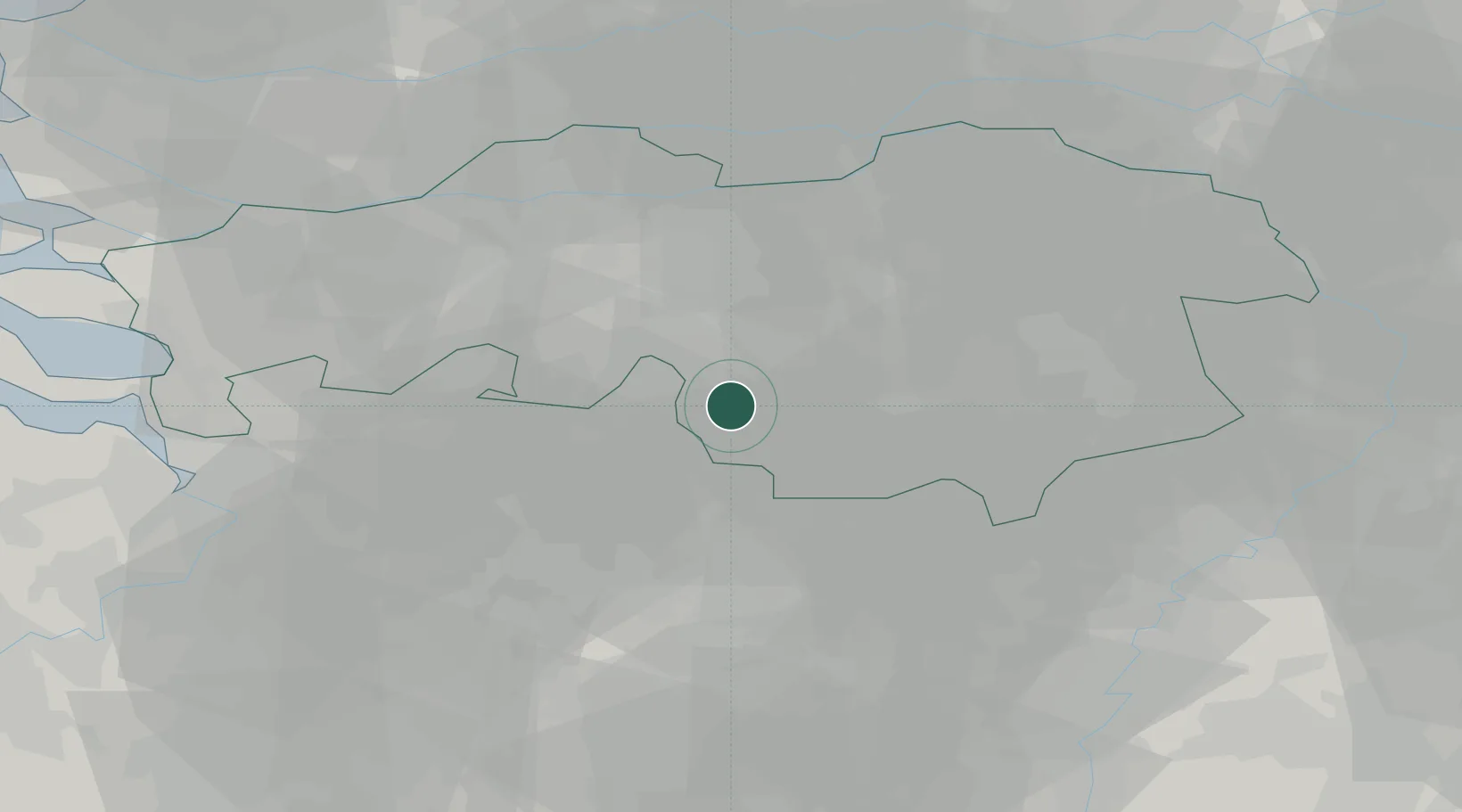
Populated place
Region
North Brabant
Population
1,405
Time zone
Europe/Amsterdam
Elevation
27 m
Location
Nearby Logistics Neighbours
Cities
- 1Hilvarenbeek9 km
- 2Arendonk10 km
- 3Bergen11 km
- 4Ravels11 km
- 5Haghorst12 km
Ports
- 1Antwerpen56 km
- 2Dordrecht58 km
- 3Rotterdam72 km
- 4Schiedam76 km
- 5Vlaardingen78 km
Airports
- 1Eindhoven Airport17 km
- 2Gilze Rijen Air Base24 km
- 3Kleine Brogel Air Base34 km
- 4Kempen Airport Budel35 km
- 5Volkel Air Base48 km
Trade Zones
- 1Freeport of Duisburg100 km
- 2Rheinische Revier SWZ102 km
- 3ZFU Condé sur lEscaut152 km
- 4ZFU Maubeuge, Louvroil153 km
- 5ZFU Tourcoing158 km
DatabookThe Record of Consolidated Knowledge
Netherlands beyond logistics?