Transport Functions
Port
Road
Hub Profile
Region
NB
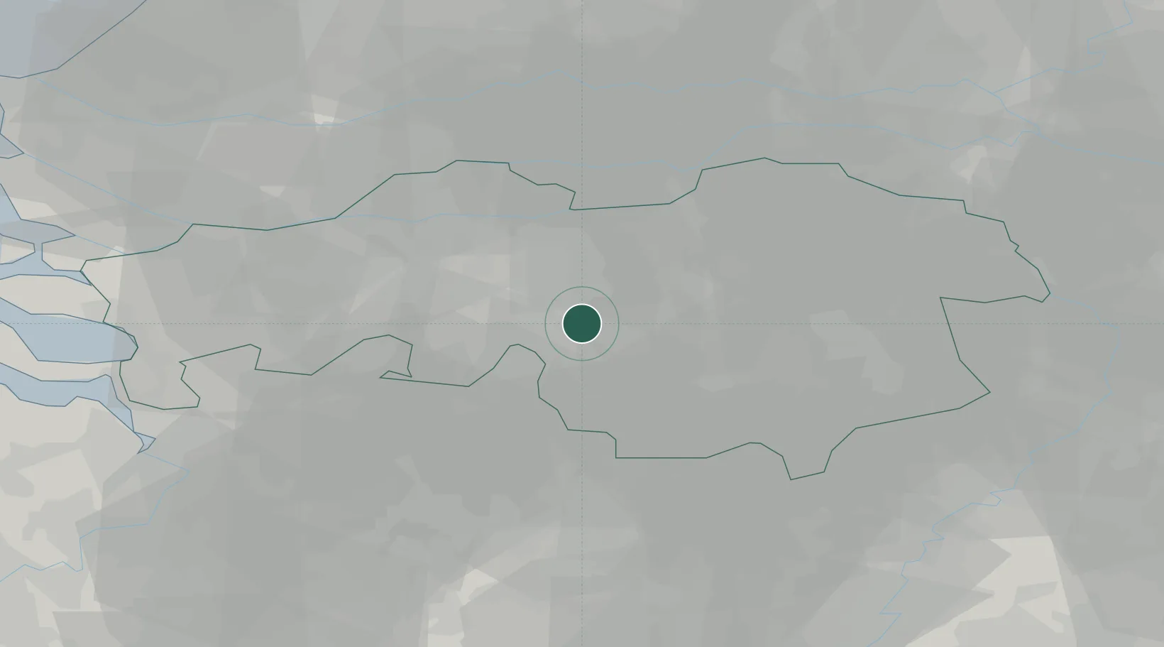
Location
Nearby Logistics Neighbours
Cities
- 1Hilvarenbeek4 km
- 2Haghorst5 km
- 3Tilburg9 km
- 4Ried9 km
- 5Biezenmortel11 km
Ports
- 1Dordrecht48 km
- 2Antwerpen62 km
- 3Rotterdam63 km
- 4Schiedam67 km
- 5Vlaardingen70 km
Airports
- 1Gilze Rijen Air Base16 km
- 2Eindhoven Airport17 km
- 3Volkel Air Base42 km
- 4Kempen Airport Budel43 km
- 5Kleine Brogel Air Base45 km
Trade Zones
- 1Freeport of Duisburg100 km
- 2Rheinische Revier SWZ109 km
- 3ZFU Condé sur lEscaut161 km
- 4ZFU Maubeuge, Louvroil164 km
- 5ZFU Tourcoing165 km
DatabookThe Record of Consolidated Knowledge
Netherlands beyond logistics?