Transport Functions
Port
Road
Hub Profile
Place type
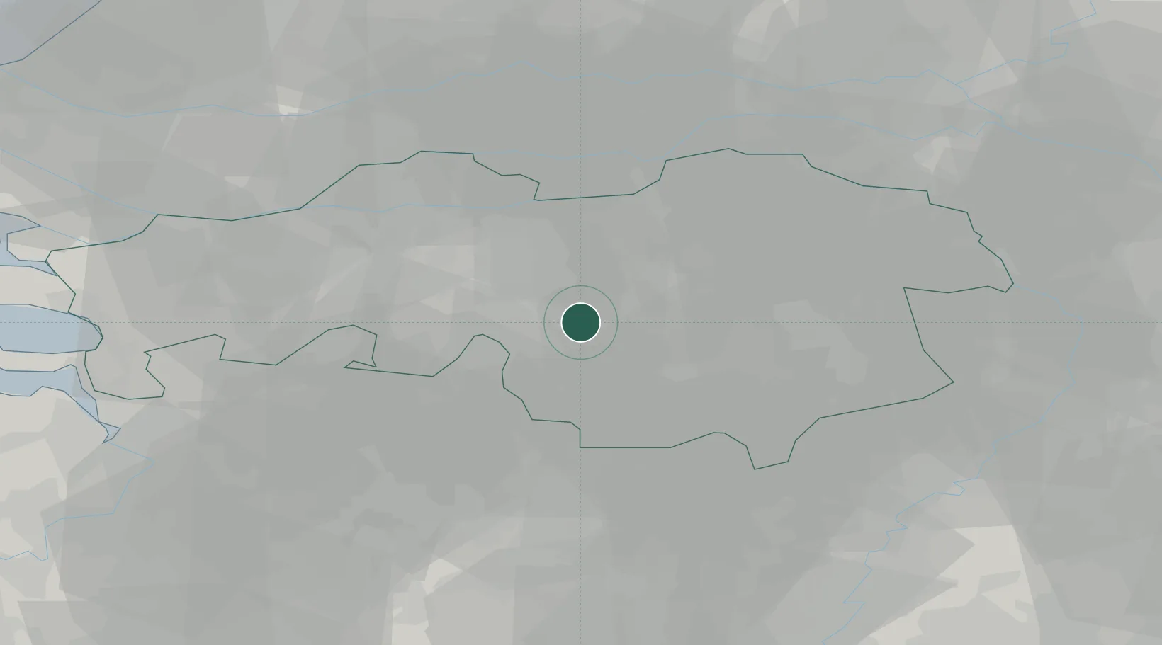
Populated place
Region
North Brabant
Population
500
Time zone
Europe/Amsterdam
Elevation
16 m
Location
Nearby Logistics Neighbours
Cities
- 1Biest5 km
- 2Hilvarenbeek6 km
- 3Lage Mierde12 km
- 4Best13 km
- 5Biezenmortel13 km
Ports
- 1Dordrecht53 km
- 2Antwerpen65 km
- 3Rotterdam67 km
- 4Schiedam72 km
- 5Vlaardingen75 km
Airports
- 1Eindhoven Airport12 km
- 2Gilze Rijen Air Base21 km
- 3Kempen Airport Budel38 km
- 4Volkel Air Base38 km
- 5Kleine Brogel Air Base41 km
Trade Zones
- 1Freeport of Duisburg95 km
- 2Rheinische Revier SWZ104 km
- 3ZFU Condé sur lEscaut163 km
- 4ZFU Maubeuge, Louvroil165 km
- 5ZFU Tourcoing168 km
DatabookThe Record of Consolidated Knowledge
Netherlands beyond logistics?