Transport Functions
Port
Road
Hub Profile
Place type
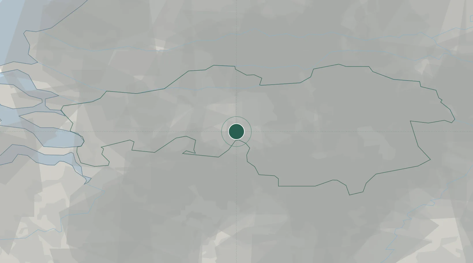
Populated place
Region
Friesland
Population
405
Time zone
Europe/Amsterdam
Elevation
1 m
Location
Nearby Logistics Neighbours
Cities
- 1Tilburg8 km
- 2Hilvarenbeek9 km
- 3Biest9 km
- 4Chaam11 km
- 5Haghorst14 km
Ports
- 1Dordrecht42 km
- 2Antwerpen54 km
- 3Rotterdam56 km
- 4Schiedam60 km
- 5Vlaardingen63 km
Airports
- 1Gilze Rijen Air Base8 km
- 2Eindhoven Airport26 km
- 3Woensdrecht Air Base47 km
- 4Kempen Airport Budel50 km
- 5Kleine Brogel Air Base50 km
Trade Zones
- 1Freeport of Duisburg109 km
- 2Rheinische Revier SWZ117 km
- 3ZFU Condé sur lEscaut154 km
- 4ZFU Tourcoing157 km
- 5ZFU Hem et Roubaix159 km
DatabookThe Record of Consolidated Knowledge
Netherlands beyond logistics?