Transport Functions
Rail
Road
Multimodal
Hub Profile
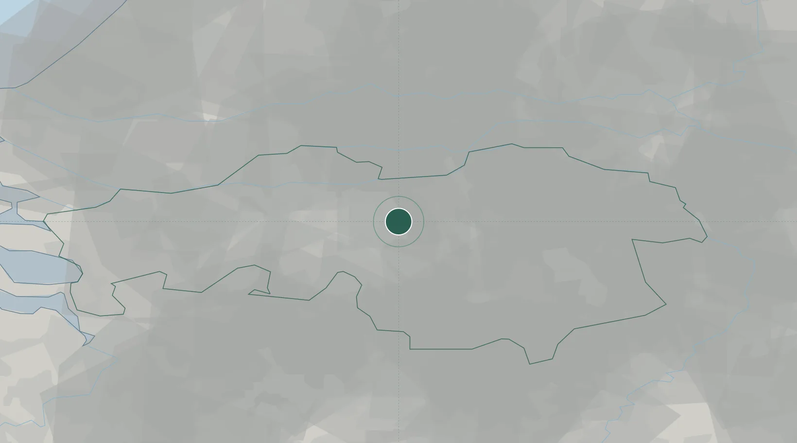
Place type
Populated place
Region
North Brabant
Population
715
Time zone
Europe/Amsterdam
Elevation
10 m
Location
Nearby Logistics Neighbours
Cities
- 1Tilburg9 km
- 2Sprang11 km
- 3Sprang-Capelle11 km
- 4Biest11 km
- 5Gemonde12 km
Ports
- 1Dordrecht43 km
- 2Rotterdam58 km
- 3Schiedam62 km
- 4Vlaardingen65 km
- 5Antwerpen70 km
Airports
- 1Gilze Rijen Air Base18 km
- 2Eindhoven Airport23 km
- 3Volkel Air Base37 km
- 4Kempen Airport Budel50 km
- 5Kleine Brogel Air Base54 km
Trade Zones
- 1Freeport of Duisburg99 km
- 2Rheinische Revier SWZ115 km
- 3ZFU Condé sur lEscaut170 km
- 4ZFU Tourcoing173 km
- 5ZFU Maubeuge, Louvroil174 km
DatabookThe Record of Consolidated Knowledge
Netherlands beyond logistics?