Transport Functions
Port
Road
Hub Profile
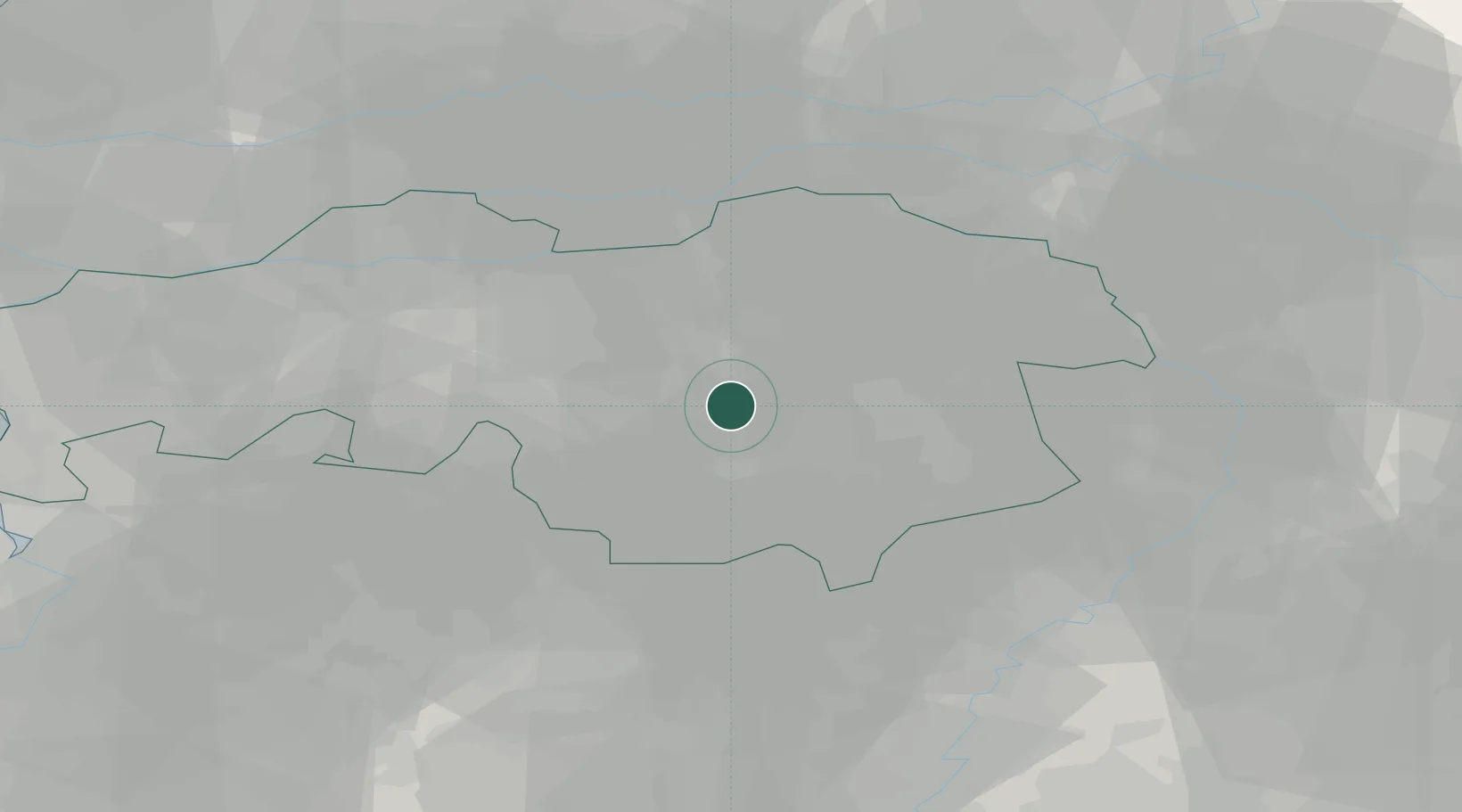
Place type
Populated place
Region
North Brabant
Population
29,074
Time zone
Europe/Amsterdam
Elevation
17 m
Location
Nearby Logistics Neighbours
Cities
- 1Eindhoven4 km
- 2Ekkersrijt5 km
- 3Son7 km
- 4Nijnsel8 km
- 5Sint Oedenrode9 km
Ports
- 1Dordrecht63 km
- 2Antwerpen76 km
- 3Rotterdam77 km
- 4Schiedam82 km
- 5Vlaardingen85 km
Airports
- 1Eindhoven Airport6 km
- 2Volkel Air Base28 km
- 3Kempen Airport Budel31 km
- 4Gilze Rijen Air Base33 km
- 5Kleine Brogel Air Base37 km
Trade Zones
- 1Freeport of Duisburg83 km
- 2Rheinische Revier SWZ95 km
- 3ZFU Condé sur lEscaut172 km
- 4ZFU Maubeuge, Louvroil172 km
- 5ZFU Tourcoing179 km
DatabookThe Record of Consolidated Knowledge
Netherlands beyond logistics?