Transport Functions
Port
Road
Hub Profile
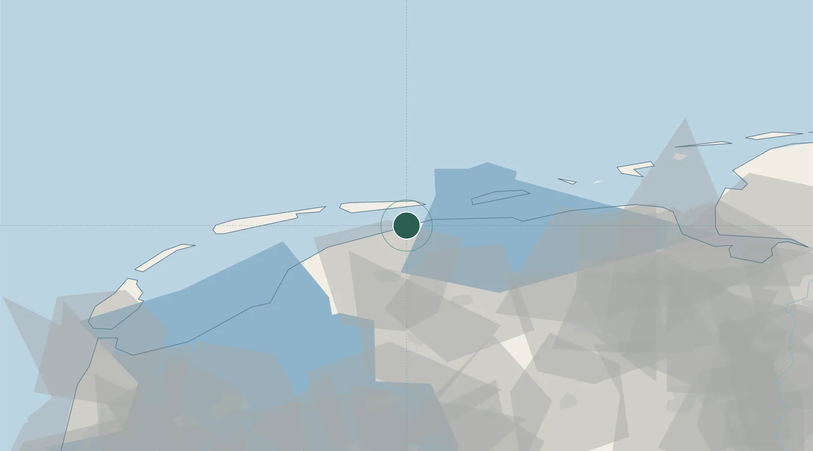
Place type
Populated place
Region
Friesland
Population
1,435
Time zone
Europe/Amsterdam
Elevation
3 m
Location
Nearby Logistics Neighbours
Cities
- 1Sijbrandahuis9 km
- 2Birdaard9 km
- 3Bartlehiem12 km
- 4Oude Bildtzijl14 km
- 5Driesum14 km
Ports
- 1Harlingen38 km
- 2Eemshaven63 km
- 3Delfzijl70 km
- 4Emden86 km
- 5Den Helder87 km
Airports
- 1Leeuwarden Air Base19 km
- 2Groningen Airport Eelde55 km
- 3Borkum Airport60 km
- 4Juist Airport84 km
- 5Emden Airport89 km
Trade Zones
DatabookThe Record of Consolidated Knowledge
Netherlands beyond logistics?