Transport Functions
Port
Road
Hub Profile
Region
FR
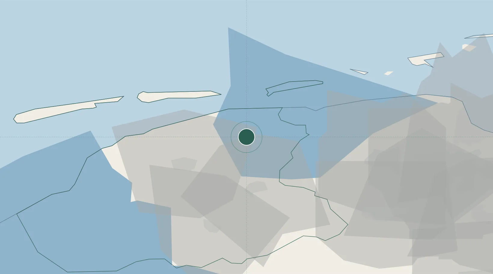
Location
Nearby Logistics Neighbours
Cities
- 1Twijzelerheide6 km
- 2Sijbrandahuis6 km
- 3Kuikhorne6 km
- 4Kollum7 km
- 5Veenwouden9 km
Airports
- 1Leeuwarden Air Base21 km
- 2Groningen Airport Eelde41 km
- 3Borkum Airport55 km
- 4Emden Airport79 km
- 5Juist Airport79 km
Trade Zones
DatabookThe Record of Consolidated Knowledge
Netherlands beyond logistics?