UN/LOCODE hub · Netherlands
NLGRO
Groot-Ammers
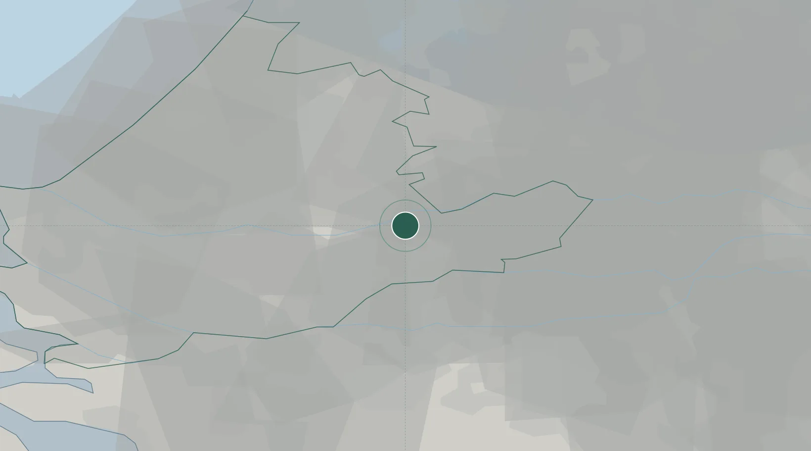
51.9167°, 4.8167°
3,305
Population
2
Transport functions
Transport Functions
Road
Multimodal
Hub Profile
Place type
Populated place
Region
South Holland
Population
3,305
Time zone
Europe/Amsterdam
Elevation
-2 m
Location
Nearby Logistics Neighbours
Cities
- 1Streefkerk5 km
- 2Goudriaan6 km
- 3Noordeloos9 km
- 4Oud-Alblas11 km
- 5Ameide11 km
Ports
- 1Dordrecht16 km
- 2Rotterdam23 km
- 3Schiedam29 km
- 4Vlaardingen32 km
- 5Maassluis39 km
Airports
- 1Rotterdam The Hague Airport26 km
- 2Gilze Rijen Air Base40 km
- 3Amsterdam Airport Schiphol44 km
- 4Woensdrecht Air Base61 km
- 5Eindhoven Airport65 km
Trade Zones
- 1Freeport of Duisburg133 km
- 2Rheinische Revier SWZ156 km
- 3ZFU Tourcoing176 km
- 4ZFU Hem et Roubaix178 km
- 5ZFU Condé sur lEscaut183 km
DatabookThe Record of Consolidated Knowledge
Netherlands beyond logistics?