Transport Functions
Port
Rail
Road
Hub Profile
Place type
Populated place
Region
Friesland
Population
1,080
Time zone
Europe/Amsterdam
Elevation
0 m
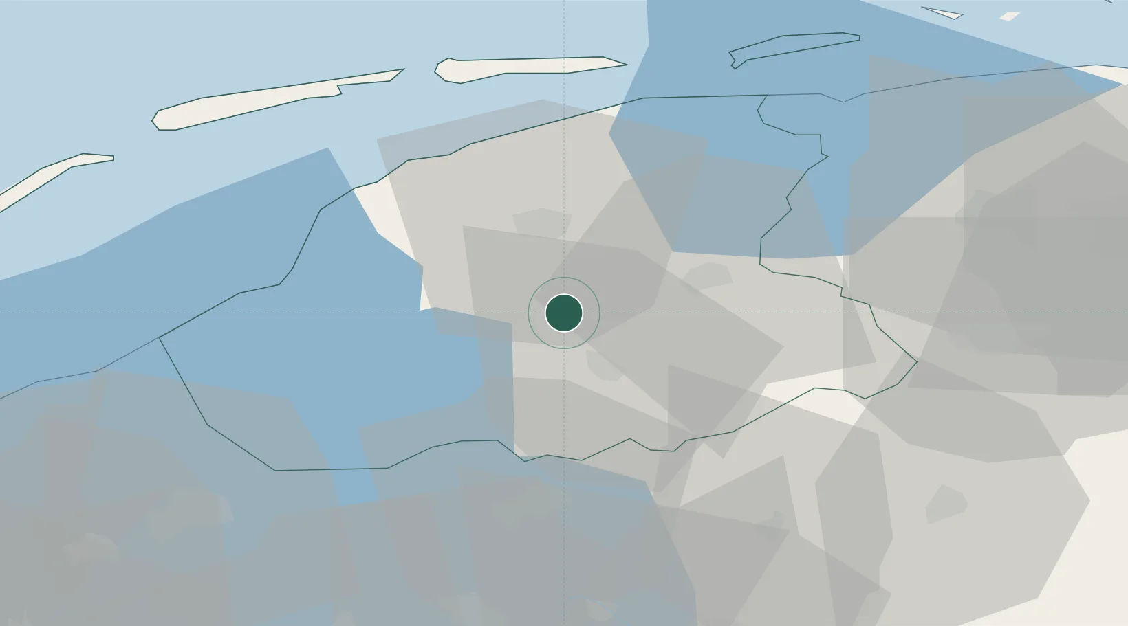
Location
Nearby Logistics Neighbours
Cities
- 1Oude Schouw3 km
- 2Boarnsterhim4 km
- 3Terhorne5 km
- 4Haskerdijken6 km
- 5Eernewoude11 km
Ports
- 1Harlingen33 km
- 2Den Helder72 km
- 3Delfzijl79 km
- 4Eemshaven79 km
- 5Emden94 km
Airports
- 1Leeuwarden Air Base21 km
- 2Groningen Airport Eelde49 km
- 3Lelystad Airport70 km
- 4De Kooy Airfield / Den Helder Naval Air Station73 km
- 5Borkum Airport83 km
Trade Zones
DatabookThe Record of Consolidated Knowledge
Netherlands beyond logistics?