Transport Functions
Port
Rail
Road
Hub Profile
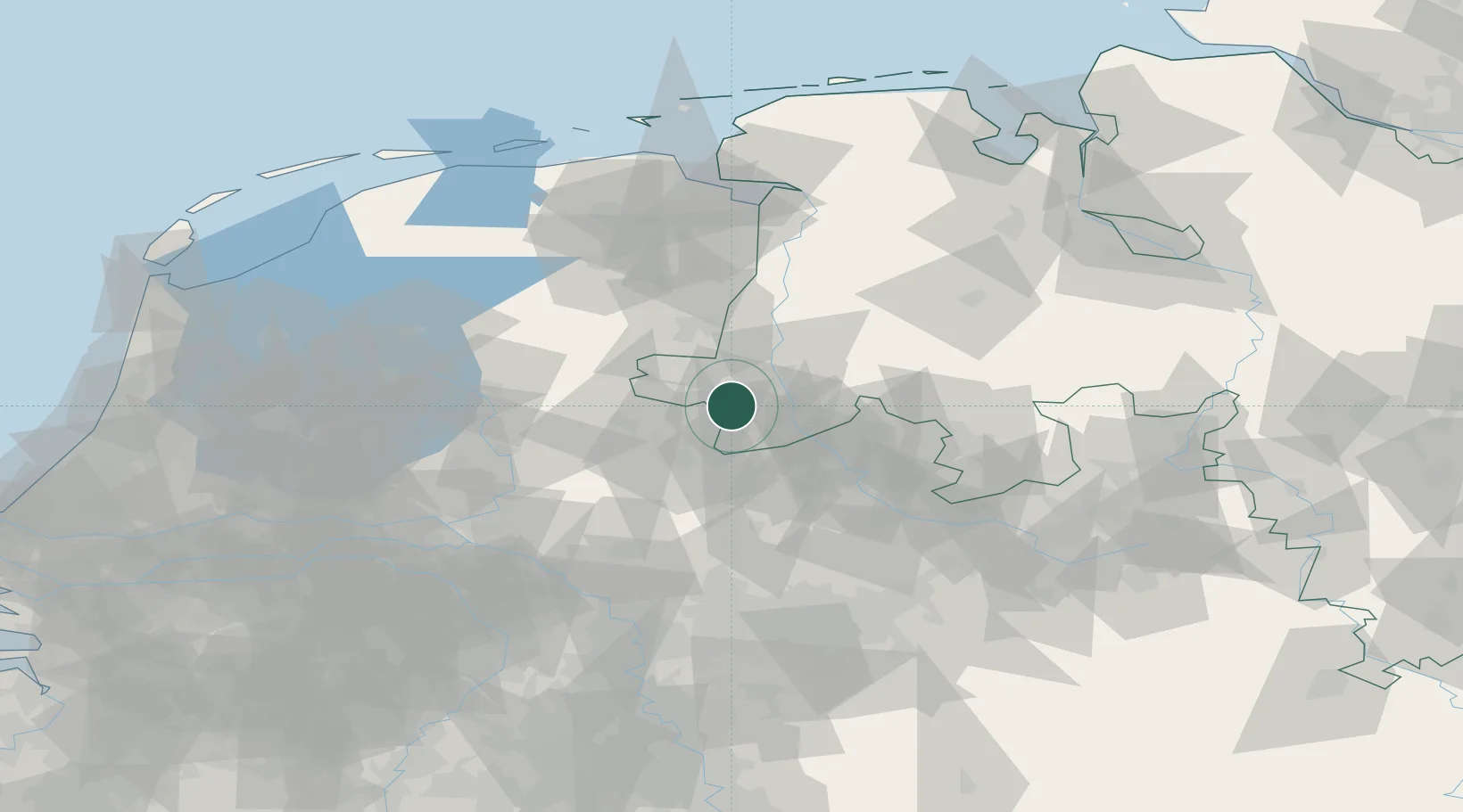
Place type
District seat
Region
Lower Saxony
Population
52,803
Time zone
Europe/Berlin
Elevation
25 m
Location
Nearby Logistics Neighbours
Cities
- 1De Poppe14 km
- 2Delfzijl14 km
- 3Bad Bentheim14 km
- 4Ülsen16 km
- 5Schüttorf17 km
Airports
- 1Twente Airport22 km
- 2Münster Osnabrück Airport53 km
- 3Groningen Airport Eelde84 km
- 4Diepholz Air Base87 km
- 5Deelen Air Base92 km
Trade Zones
DatabookThe Record of Consolidated Knowledge
Germany beyond logistics?