Medium airport · Germany

Diepholz Air BaseETND
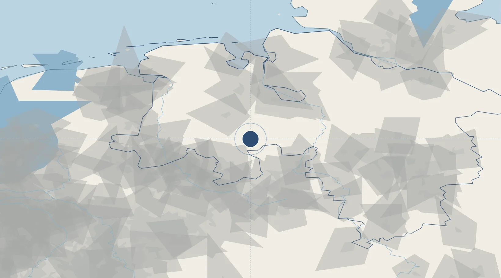
52.5856°, 8.3422°
4,209 ft
Longest runway
1
Runways
128 ft
Elevation

Runway & Layout

Diepholz Air Base runway & taxiway layout
Runway & taxiway layout — OpenStreetMap (ODbL) / OurAirports

Radio Frequencies

TWR
135.13 MHz
Diepholz Tower
AFIS
129.875 MHz
Langen Information
Info
122.53 MHz
Diepholz Radio
OurAirports

Navaids

DP NDB Diepholz 325 kHz
OurAirports

Runways · 1

RunwayDimensions SurfaceTrue headingLit
08/26 4,209 × 148ft Asphalt 085°
OurAirports

Airport Specifications

ICAO code
ETND
OurAirports
Airport class
Medium airport
OurAirports
Scheduled service
No
OurAirports
Runway surface
Asphalt
OurAirports
Served city
Diepholz
OurAirports

Location

Location of ETND
Natural Earth 10m (public domain) · Niedersachsen · ETND · 52.59, 8.34GoogleOSMYandex

Nearby Logistics Neighbours

Airports
  1. 1Bremen Airport59 km
  2. 2Bückeburg Air Base61 km
  3. 3Münster Osnabrück Airport67 km
  4. 4Bielefeld Airport70 km
  5. 5Wunstorf Air Base75 km
Nearest neighbours — logibook spatial index (haversine) over the source coordinates
Cities
  1. 1Diepholz2 km
  2. 2Lembruch6 km
  3. 3Drebber9 km
  4. 4Lohne bei Vechta12 km
  5. 5Hunteburg17 km
Nearest neighbours — logibook spatial index (haversine) over the source coordinates
Ports
  1. 1Oldenburg60 km
  2. 2Bremen67 km
  3. 3Elsfleth73 km
  4. 4Brake84 km
  5. 5Papenburg86 km
Nearest neighbours — logibook spatial index (haversine) over the source coordinates
Trade Zones
  1. 1Freeport of Bremerhaven (Freihafen Bremerhaven)63 km
  2. 2Freeport of Emden114 km
  3. 3Freeport of Cuxhaven (Freihafen Cuxhaven)139 km
  4. 4Freeport of Duisburg175 km
  5. 5Freeport of Kiel229 km
Nearest neighbours — logibook spatial index (haversine) over the source coordinates
DatabookThe Record of Consolidated Knowledge
Germany beyond logistics?
Browse databook

All Sources

AirportsOurAirports
Public domain
Portsthe NGA World Port Index
Public domain (US gov)
LocationsUN/LOCODE
UN/LOCODE — free
Trade Zonesthe World Bank SEZ database
CC BY 4.0
Trade ZonesOpen Zone Map
CC BY
InfrastructureOpenStreetMap
ODbL 1.0
← Germany airports