UN/LOCODE hub · Netherlands
NLSRT

Stroe

52.9333°, 4.9833°
160
Population
1
Transport functions

Transport Functions

Port
UN/LOCODE

Hub Profile

Place type
Populated place
GeoNames
Region
North Holland
GeoNames
Population
160
GeoNames
Time zone
Europe/Amsterdam
GeoNames
Elevation
3 m
GeoNames

Location

Location of NLSRT
Natural Earth 10m (public domain) · North Holland · NLSRT · 52.93, 4.98GoogleOSMYandex

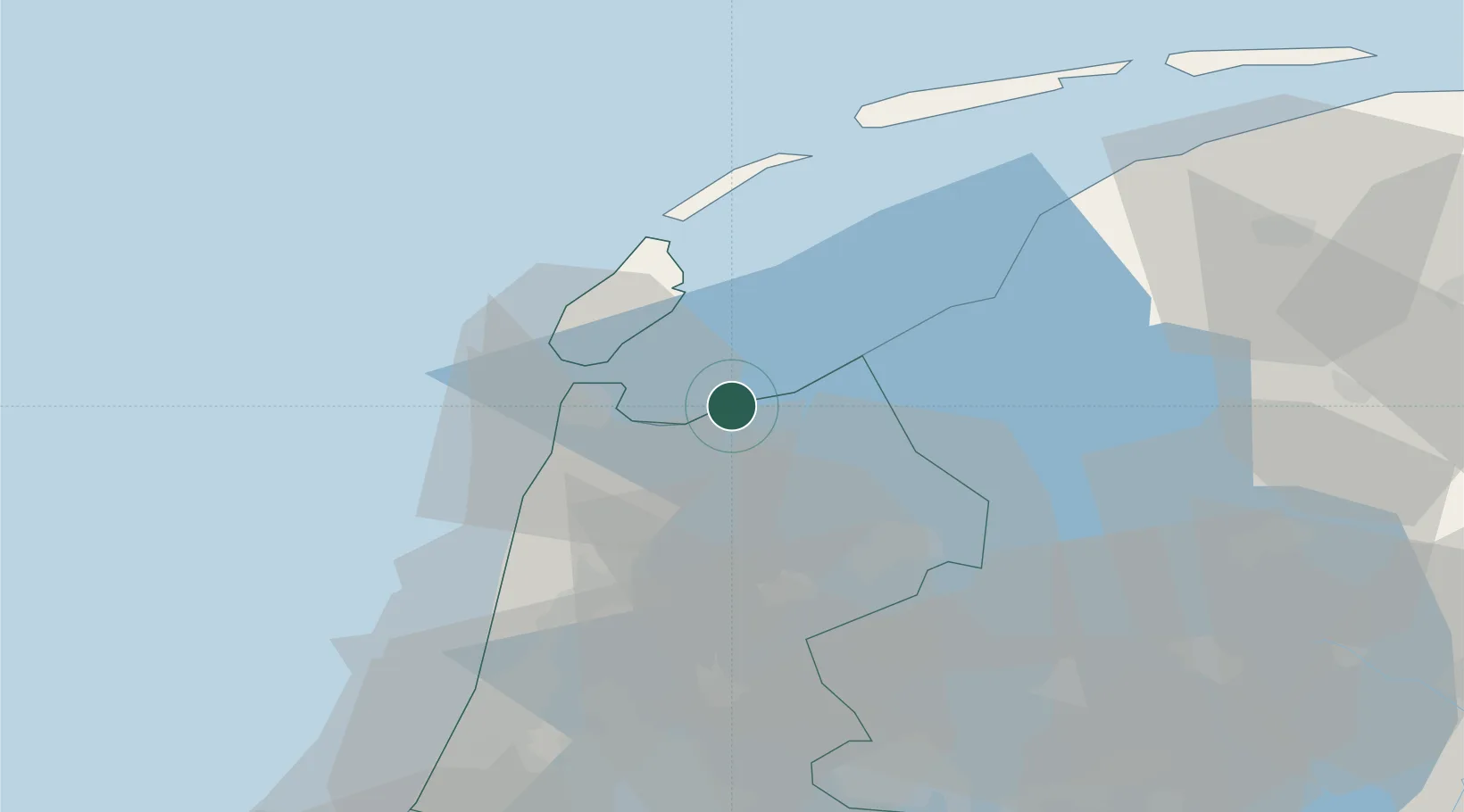
Nearby Logistics Neighbours

Cities
  1. 1Wieringen/Den Oever3 km
  2. 2De Haukes7 km
  3. 3Wieringermeer10 km
  4. 4Anna Paulowna11 km
  5. 5De Kooy12 km
Nearest neighbours — logibook spatial index (haversine) over the source coordinates
Ports
  1. 1Den Helder14 km
  2. 2Harlingen40 km
  3. 3Zaandam57 km
  4. 4Ijmuiden59 km
  5. 5Amsterdam63 km
Nearest neighbours — logibook spatial index (haversine) over the source coordinates
Airports
  1. 1De Kooy Airfield / Den Helder Naval Air Station14 km
  2. 2Leeuwarden Air Base61 km
  3. 3Lelystad Airport64 km
  4. 4Amsterdam Airport Schiphol71 km
  5. 5Groningen Airport Eelde109 km
Nearest neighbours — logibook spatial index (haversine) over the source coordinates
Trade Zones
  1. 1Freeport of Emden154 km
  2. 2Freeport of Duisburg198 km
  3. 3Rheinische Revier SWZ245 km
  4. 4Freeport of Bremerhaven (Freihafen Bremerhaven)254 km
  5. 5Freeport of Cuxhaven (Freihafen Cuxhaven)258 km
Nearest neighbours — logibook spatial index (haversine) over the source coordinates
DatabookThe Record of Consolidated Knowledge
Netherlands beyond logistics?
Browse databook

All Sources

LocationsUN/LOCODE
UN/LOCODE — free
LocationsGeoNames
CC BY 4.0
Portsthe NGA World Port Index
Public domain (US gov)
AirportsOurAirports
Public domain
Trade Zonesthe World Bank SEZ database
CC BY 4.0
Trade ZonesOpen Zone Map
CC BY
← Netherlands locations