Transport Functions
Port
Road
Hub Profile
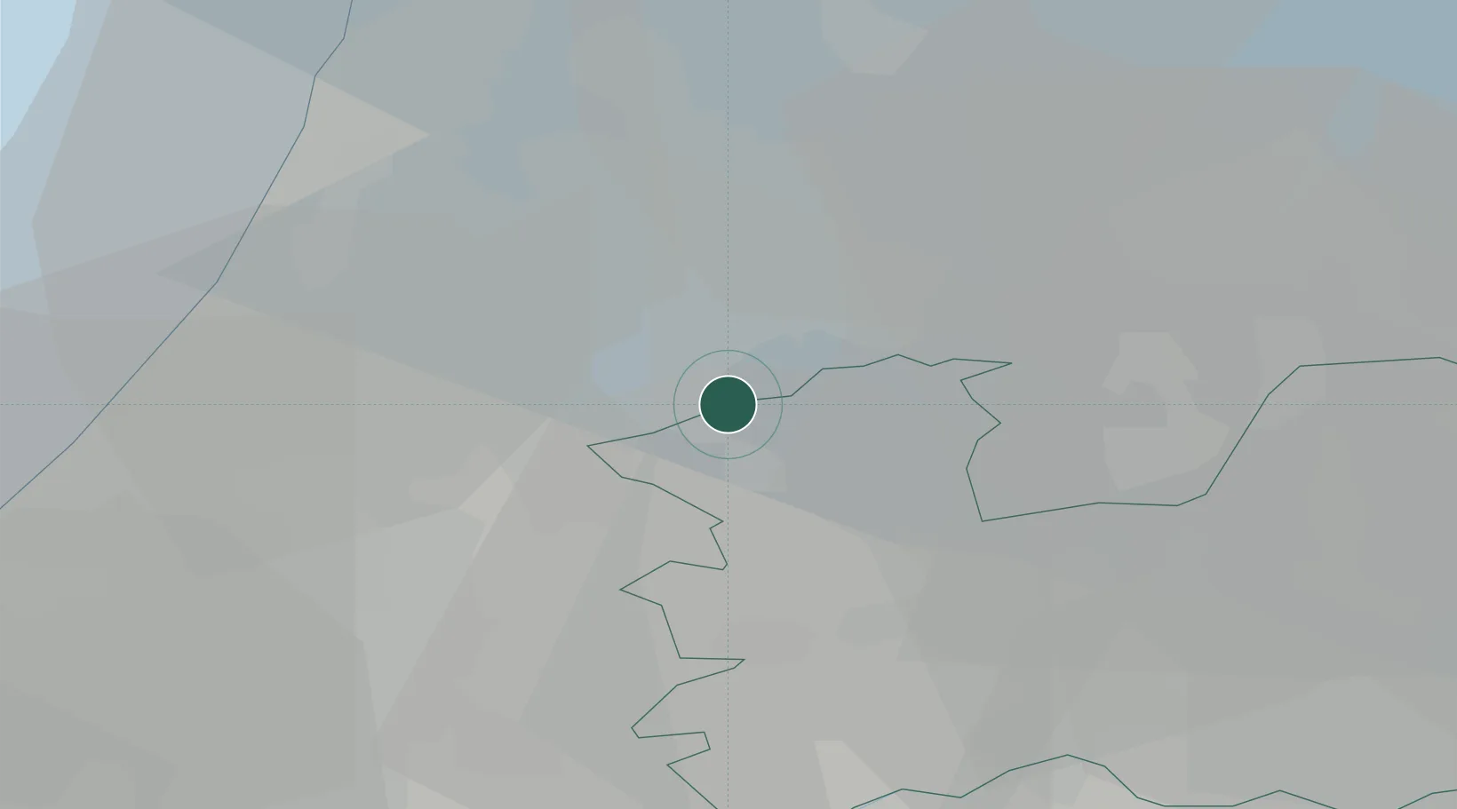
Place type
Populated place
Region
Utrecht
Population
105
Time zone
Europe/Amsterdam
Elevation
-2 m
Location
Nearby Logistics Neighbours
Cities
- 1Nes aan de Amstel2 km
- 2Amstelhoek3 km
- 3Vrouwenakker6 km
- 4Ouderkerk aan de Amstel6 km
- 5De Hoef6 km
Ports
- 1Amsterdam13 km
- 2Zaandam21 km
- 3Ijmuiden31 km
- 4Scheveningen44 km
- 5Rotterdam47 km
Airports
Trade Zones
- 1Freeport of Duisburg148 km
- 2Rheinische Revier SWZ182 km
- 3Freeport of Emden197 km
- 4ZFU Tourcoing207 km
- 5ZFU Hem et Roubaix210 km
DatabookThe Record of Consolidated Knowledge
Netherlands beyond logistics?